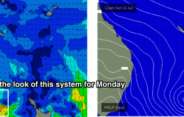
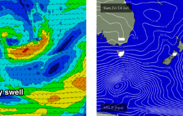
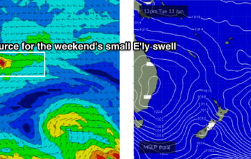
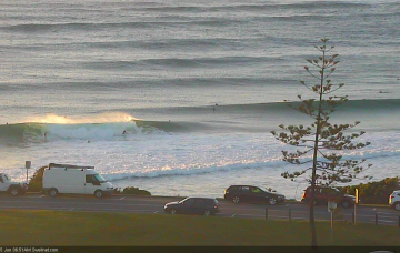
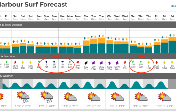
The most dominant characteristic of the forecast period is an extended run of southerly quadrant winds. But there are plenty of waves in store. Check out the Forecaster Notes for more.
Primary tabs
I’m not expecting much surf anywhere this weekend. But next week is a different story. More in the Forecaster Notes.
Thursday morning’s a tricky call. We’ve got almost thirteen hours of darkness, and only sporadic buoy updates to check on, and I’ve gotta commit to a figure right now. More in the Forecaster Notes.
We’re now well and truly on the backside of this recent run of prolonged southerly swell. The main casualty will be SE Qld, which - in the absence of any easterly swell - will see tiny conditions persist until the weekend. More in the Forecaster Notes.
Local winds will gradually ease all weekend, in fact we should see light variable winds by Saturday afternoon and for most of Sunday across most regions. More in the Forecaster Notes.
Wave heights are now trending down and will continue to ease slightly through Thursday. But, there's a stack more southerly swell on the way. More in the Forecaster Notes.
Friday looks really interesting though I fear a lingering S’ly breeze may take the shine off an otherwise great round of S’ly groundswell.
We’ve got an extended period of strong south swell ahead, and Saturday morning will see large surf across south facing beaches in Northern NSW, south from Byron Bay.
First things first: we’re staring down the barrel of an extended run of typical winter synoptics, which typically means little to no trade swell activity for our region, and therefore little to no east swell.
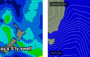
Let’s glance to our south swell window, which is seeing a lot of activity on the synoptics as a major cold outbreak impacts the southern states. More in the Forecaster Notes.

