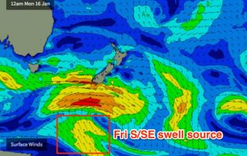
The polar SE swell source is expected to ebb and flow within our swell window right throughout the forecast period.
Primary tabs
In short, Mid North Coast has potential Saturday, everywhere else for Sunday. But keep your expectations low and your eyes peeled for windows of opportunity.
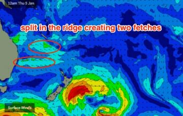
The anchored E’ly fetch south of New Caledonia and Fiji over the last few days is generating a minor bump in size that should arrive overnight, and show best early Thursday morning.
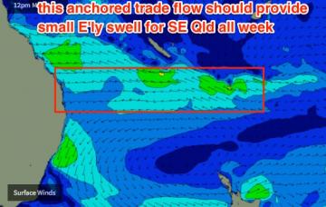
The models have marginally increased the size and strength of the anchored trade flow south of Fiji and New Caledonia for this week, which will maintain small levels of east swell right through into the weekend.
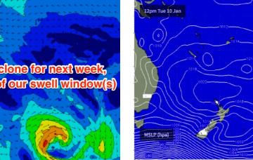
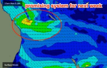
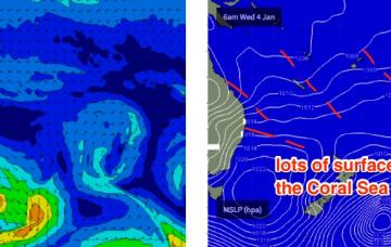
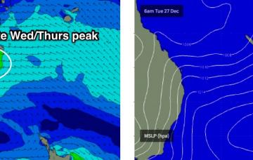
The weekend’s Tasman/Coral Sea ridge will be anchored across the Central Queensland coast by a coastal trough. This is expected to weaken early next week, and at the same time a new tropical depression is expected to form south of the Solomon Islands.
Although Monday’s forecast for the second half of this week was hardly stellar, the outlook has downgraded a little across some regions, over the last few days.
Model data has the S’ly change into the Gold Coast just after midnight tonight, reaching the Sunshine Coast around dawn.
Throughout Wednesday and into Thursday we’ll also start to see a building E’ly swell from the top of a broadening Tasman high.
A broad fetch of easterly winds through the lower Coral Sea associated with a Tasman high and a small tropical depression are generating an easterly swell that’s expected to reach a peak on Thursday, before easing into Friday.
We’re looking at a slow increase in size over the coming days towards a plateau in and around very late Wednesday through Thursday.

