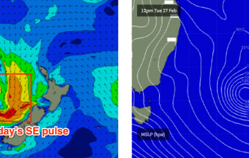
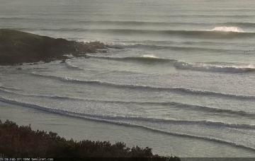
Today’s SE swell will initially ease back in size, and ahead of the change we’ll see light to moderate NW winds, so there’ll be great waves across the beaches.
Primary tabs
Across SE Qld, winds will be ideal for the points for the next few days but the strong southerly component will severely restrict wave heights.
Looks like a pretty ordinary weekend ahead.
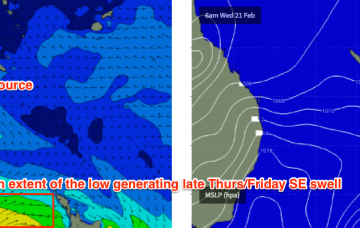
Also in the mix across SE Qld will be a local E/SE swell from the fetch right on our doorstep (generating the locally breezey conditions).
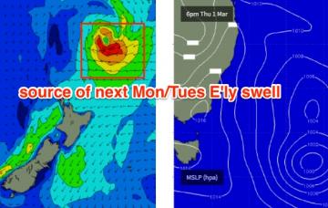
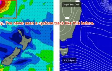
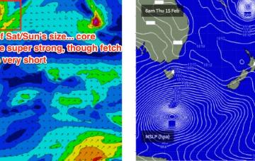
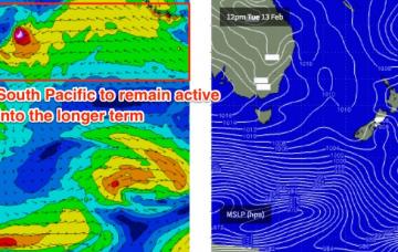
The remnants of ex-TC Gita will reform off the West Coast of New Zealand’s South Island on Tuesday.
I have no doubt that Severe Tropical Cyclone Gita is going to become Exhibit A in a meteorological course module at some unsuspecting university down the track.
Yeah, this is as high as I've ever called for this region but it's hard to look at the synoptics and find a reason not to - in fact given the lack of analogous swell events to work off, this prediction may even be somewhat conservative.
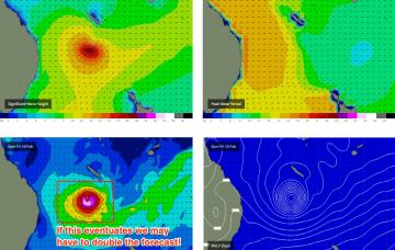
STC Gita is a very large, dangerous system that will likely reach Cat 5 this evening and persist at this strength for the next few days.
It now looks like we’ll see at least one severe Tropical Cyclone develop east of Fiji over the coming days, tracking eastwards before recurving to the south, then east before tracking straight through the South-western Pacific enroute to the Tasman Sea.
Saturday looks like the pick of the weekend, with freshening northerlies set to cause some problems on Sunday.

