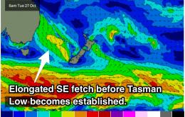
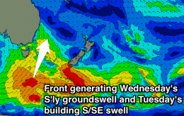
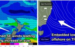
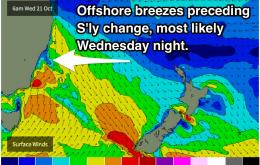
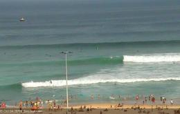
If you have gaps in your schedule this week, make sure you're unavailable on Wedneday and Thursday morning. We should see a fun mix of southerly and southeasterly energy in the water under light variable winds each morning.
Primary tabs
Fun, clean easing SE swell tomorrow with a mix of S'ly swells Sunday. Good mix of NE windswell and S'ly groundswell Monday morning with offshore winds. Building S/SE windswell into Tuesday with poor winds.
Multiple swell sources are making for a tricky forecast, but there should be plenty of waves in the coming week. Saturday morning is looking good under light winds with southerly energy in the water.
Wednesday is looking like the pick of the bunch with a mix of northeasterly wind swell and east/northeasterly groundswell. Local winds look to be offshore for the better part of the day so keep an eye out. Disclaimer: there's a huge amount of model uncertainty from Wednesday afternoon onwards, so stay tuned.
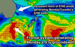
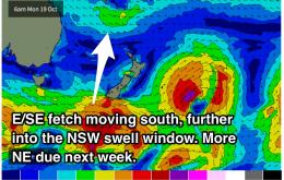
Easing NE windswell with funky winds tomorrow morning, poor building windswell Sunday. Good S'ly groundswell for Monday with a small window of light winds early. Mix of E/NE swells for the middle of the week.
Make the most of the early morning session for peaky northeasterly swells to finish up the week. We are due a for a fresh pulse of southerly groundswell on Monday, holding throughout Tuesday morning in the 3ft range, possibly bigger.
Undersized and seabreezey. The coming week looks pretty ordinary with a mixture of small southerly and northeasterly wind swells. Next Monday holds the next best chance of a southelry groundswell.
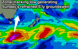
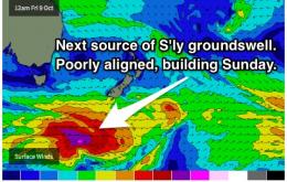
Poorly aligned fronts will produce refracted southerly energy. Fingers crossed it's a repeat of last week.
S'ly swell in the 2-3ft range for the coming week exclusive to the magnets. Open beaches can look forward to a small amount of NE wind swell energy late in the week. Workable winds early each day.
Now, the wave model’s poor depiction of the weekend’s southerly swells means I’m not especially confident on the size forecast for Tuesday: I know the model is way off, but by how much?

