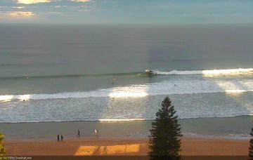
Sunday looks better on the surface and although swell potential is mixed, we should see some fun waves.
Primary tabs
My hopes for a decent pulse from this developing Tasman Low have been dashed.
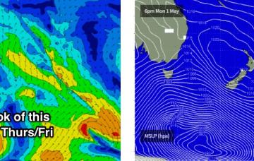
Well, it’s taken a few more days than that but we do have a complex, existing synoptic chart appearing next week.
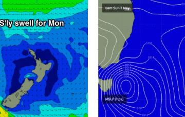
The Tasman Low responsible for the last few days of southerly swell is still positioned nicely within our SE swell window.
Today's new south swell has built a little more slowly than Friday’s notes anticipated, but I’m not revising my forecast size from this event.
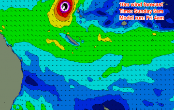
We’ve shifted from a scenario on Wednesday where TC Donna was expected to remain completely outside of our swell window (Wednesday night's model run) due to the swell shadow afforded by New Caledonia, to a situation where it's now a possible swell generator for many parts of the East Coast (Friday morning's run).
Light variable winds are expected on Friday so this is certainly the pick of the short term forecast period.
Late Wednesday and into Thursday, we’ll see slightly longer period S’ly swell push along the Southern NSW coast.
Anyway, because of this rapid easing trend, I have slightly pegged back my expectations for Saturday’s surf.
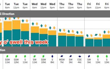
A series of fronts will dominate the entire forecast period, and thus we’re looking at an extended period of south swell for Southern NSW.

