Saturday looks like the pick of the weekend, with freshening northerlies set to cause some problems on Sunday.
Primary tabs
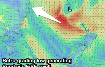
Inconsistent but good E'ly groundswell tomorrow, easing Wednesday with some good new S'ly groundswell on the North Coast. Easing surf into the end of the week ahead of some good new E/SE swell on the weekend, though winds will limit surfing options.
Next week looks great for surfers: how good is it to glance the long term charts and not see an extended period of northerlies!
SE Qld is seeing a peak in primary groundswell today, of which this source will trend down from Thursday.
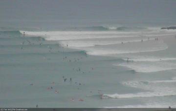
Looks like an active week of waves right across the coast, with an extended period of good surf right across the points.
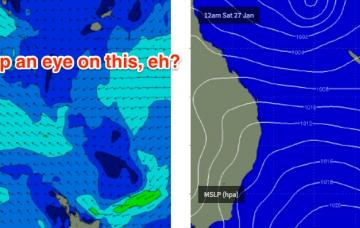
The model guidance is showing some interesting developments associated with the monsoon trough across the northern Coral Sea.
The forecast models are (again) moving around a LOT for next week.
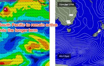
The southward-tracking tropical low will anchor a broad ridge through the Northern Tasman Sea from Friday onwards, and a long E’ly fetch will generate excellent E’ly swells that’ll persist for quite some time.
Synoptic activity is slowly easing and wave heights are abating across the coast.
We are seeing a reinforcing pulse across Southern NSW this afternoon and this should maintain elevated wave heights across the region into Thursday.

