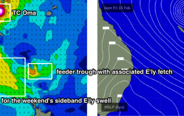
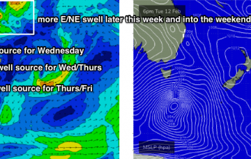
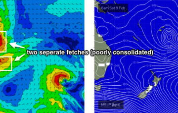
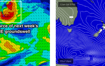
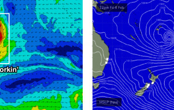
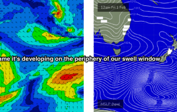
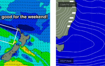
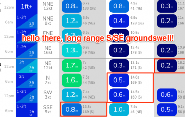
We’ve got a multitude of swell sources for the next few days but they’re all originating from weather systems on the peripheries of our swell windows.
Primary tabs
/reports/forecaster-notes/sydney-hunter-illawarra/2019/02/13/nice-run-fun-small-medium-sized-surf
thermalben
Wednesday, 13 February 2019
/reports/forecaster-notes/sydney-hunter-illawarra/2019/02/11/very-tricky-short-term-outlook-stacks
thermalben
Monday, 11 February 2019
I’m really not very confident in the surf outlook for the next few days. More in the Forecaster Notes.
/reports/forecaster-notes/sydney-hunter-illawarra/2019/02/08/complex-though-extended-run-ene-swell
thermalben
Friday, 8 February 2019
The South Pacific synoptics are very tricky.
/reports/forecaster-notes/sydney-hunter-illawarra/2019/02/06/small-peaky-surf-couple-days-strong-out
thermalben
Wednesday, 6 February 2019
The South Pacific is really going to become quite active over the coming days.
/reports/forecaster-notes/sydney-hunter-illawarra/2019/02/04/eight-swell-sources-week-not-much-above
thermalben
Monday, 4 February 2019
Not much expect for the week, just a series of small swells glancing the coast from various sources. But this weekend and next week, well that's a different story. The Forecaster Notes have more details.
/reports/forecaster-notes/sydney-hunter-illawarra/2019/02/01/nice-run-surf-dynamic-options-long-term
thermalben
Friday, 1 February 2019
The weekend forecast has improved a little more since Wednesday.
/reports/forecaster-notes/sydney-hunter-illawarra/2019/01/30/stacks-swell-ahead-pockets-great
thermalben
Wednesday, 30 January 2019
No changes at all to the short term forecast notes.
/reports/forecaster-notes/sydney-hunter-illawarra/2019/01/28/lotsa-fun-swell-east-and-north-east
thermalben
Monday, 28 January 2019
The weekend looks potentially quite fun at this stage.
/reports/forecaster-notes/sydney-hunter-illawarra/2019/01/25/stacks-swell-ahead-some-tasty-windows
thermalben
Friday, 25 January 2019
There’s a multitude of systems on the long range charts. More in the Forecaster Notes.
/reports/forecaster-notes/sydney-hunter-illawarra/2019/01/23/plenty-small-peaky-options-exposed
thermalben
Wednesday, 23 January 2019
We should see some fun small waves over the coming days.

