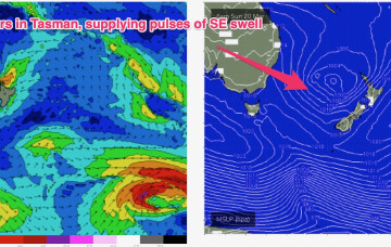
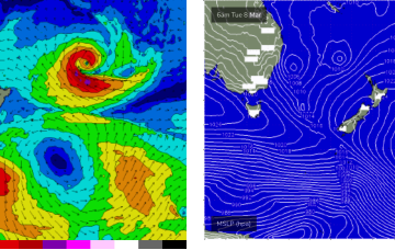
The trough is connected to a parent low pushing through the lower Tasman, but the combination of short period SE and longer period S swells will be marred by an onshore flow for most of this week and the weekend.
Primary tabs
In the short run and an elongated “bubble” high sits along the NSW coast through tomorrow, bringing a cracker of a day with light offshore breezes which will tend N/NE through the day.
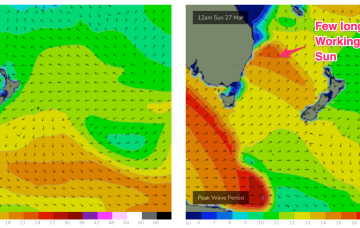
That front then forms a low, which becomes slow moving as it tracks NE towards the North Island. Swell is incoming from the front and the low, generating swell from the southern quadrant over the weekend and into next week.
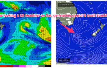
Bit of an upgrade now for Sunday as a parent low tracks into the Tasman Friday with a much healthier fetch fetch of S to SSW winds extending through the lower Tasman.
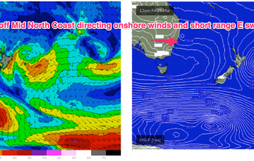
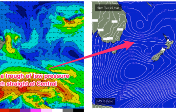
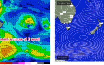
The current high cell in the Tasman has a trough of low pressure perched atop it, maintaining an E’ly fetch at a southerly latitude- roughly due East of Sydney.
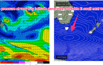
The next high pressure system moves into the lower Tasman Mon, at a very southerly latitude, even by La Niña standards.
The squeeze between a 1001 hPa low off the South Coast and 1030 hPa high moving through the Eastern Bight is producing a line of gales off the NSW South Coast, extending northwards up to the Hunter and southwards into the Tasman Sea.
Another wild week ahead as a low forms off coast tomorrow, bringing plenty of wind and swell (again)
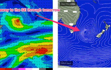
This fetch provides a pulse of S to S/SE swell before another low forms in the trough line off the NSW Central Coast Tues, rapidly re-invigorating a robust S to S/SE fetch off the South to Central Coast before slowly drifting off to the SE later this week.
That marks the emergence of another major system, as the remnants of the trough/low get re-energised by another upper disturbance being pushed Eastwards by a high in he bight. More on this later it’ll generate hepas of swell next week once it spins up.
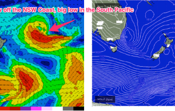
This is maintaining a deep E’ly flow, with coastal troughs and a surface low off the NSW North Coast, now moving South.

