Plenty of fun waves are expected on Saturday. Today’s swell will continue to slowly abate in size but the morning should have good 2-3ft+ waves at beaches with some southerly exposure.
Primary tabs
The biggest is yet to come. Today’s south swell will continue to ease overnight and into Thursday morning, however it’ll be replaced with a strong secondary S/SE groundswell during the day.
There’s no real change to Friday’s notes, with our current swell easing slowly through Tuesday (3-5ft south facing beaches, bigger in the Hunter but smaller at beaches not open to the south) ahead of two pulses of fresh south swell for Wednesday and Thursday.
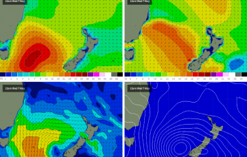
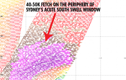
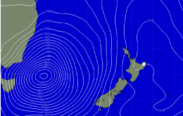
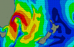
How's the synoptic charts, eh? As discussed ad nauseam all week, we’re looking at the development of a major low pressure system in the south-western Tasman Sea on Saturday.
Oooh yeah, we’ve got a complex weekend for surfers and weather watchers alike. A developing low off the South Coast on Saturday morning - just east of Batemans Bay, according to the latest model guidance - will initially strengthen W/NW winds about the Sydney and Hunter regions, with more SW winds south of Wollongong and S/SW in the Far South.
Since late last week, model guidance has been rather honed in on a major Tasman Low developing off the South Coast early this weekend. It’s still holding true but right now it’s hard to have total confidence in the likely size and timing of the resulting swell.


