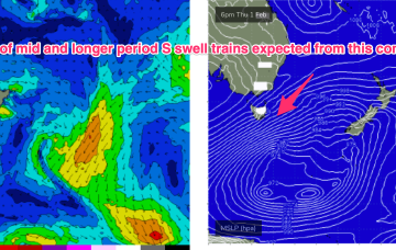
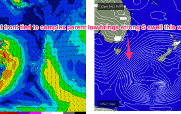
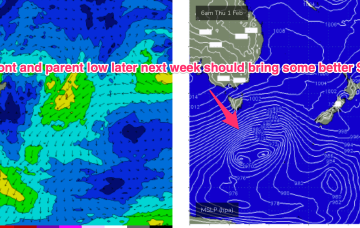
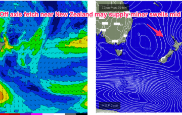
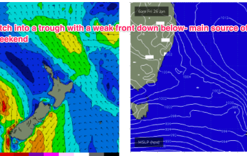
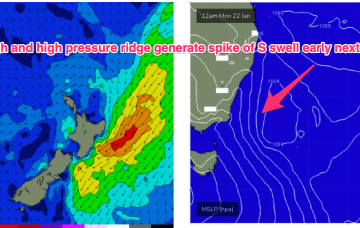
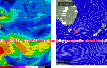
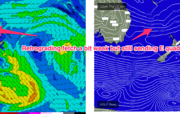
The high pressure belt is weak and moving at a more N’ly latitude than we’ve seen this summer, with a troughy pattern in the Tasman and some frontal activity under the SE of the continent continuing. A much stronger front and parent low tracks NE into the lower Tasman late this week with a broad band of gales to strong gales expected to generate some strong S swell over the weekend.
Primary tabs
Strong S swell expected this weekend as a front with gales to strong gales tied to a complex parent low drifts slowly through the far Southern Tasman.
A weaker front Wed may bring some small S swell later Thurs into Fri but a much stronger system tracks NE into the Tasman Thurs/Fri with a wide band of gales suggesting a more substantial S swell event sometimes next weekend.
Absent that, with weak high pressure in the Tasman we’ve only got marginal, local wind swells to keep wave zones active this week, and into next.
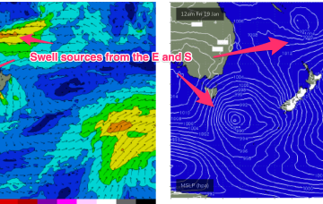
Looking south to more local sources then we have a relatively weak high (1022 hPa) moving under Tasmania with a long trough and front in the Tasman directing a S’ly fetch through the Central-Southern Tasman. Once that swell source fades we’re back to typical summer sources with a NE windswell expected late this week and a minor S swell event into the weekend.
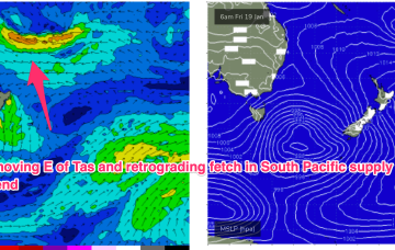
A compact low is tracking SE away from Tasmania with a nice slingshot fetch in the process of entering the Tasman adjacent to the Apple Isle. A retrograding fetch in the South Pacific is currently active and expected to send some fun surf out way over the weekend.
In the South Pacific we have a retrograding trough of low pressure along a tradewind band and finally, the Northern Australian Monsoon (NAM) is in full swing and a tropical low is expected to bud off the end of the monsoon trough into and over the weekend, with a reasonable likelihood of cyclogenesis into next week.
Very active pattern to start the week with a large high (1029hPa) moving E of Tasmania with a SE surge enhanced by a trough along the leading edge of the high, and active Monsoon Trough extending in to the Coral Sea and an approaching complex low well to the SW of Tasmania. All these features are potential sources of surf in the short to medium term.
The southwards protusion of winds from a high and retrograding trough will generate fun sized E’ly swells.
The compact low near Tasmania is now skipping away to the SE with a large high SE of the South Island (1034 hPa) interacting with a broad low pressure trough in the South Pacific which will supply E’ly quadrant swell in the near term as the low pressure trough retrogrades back towards the east coast.

