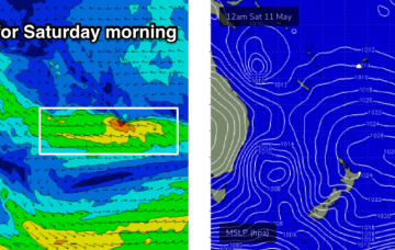
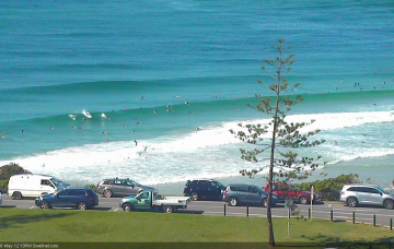
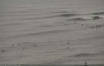
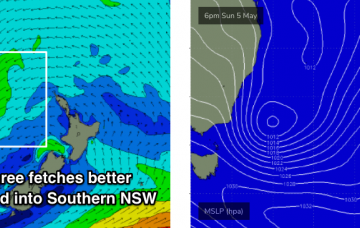
Large southerly swells will start to show across the Mid North Coast later Saturday, peaking overnight across Northern NSW and then easing rapidly throughout Sunday. More in the Forecaster Notes.
Primary tabs
OK, there’s a lot to unpack for the weekend. More in the Forecaster Notes.
The Tasman Low responsible for our current south swell is a fascinating system. More in the Forecaster Notes.
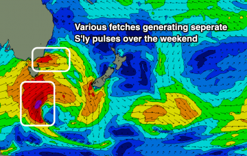
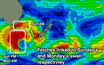
The main feature for the weekend is a gusty S’ly change pushing up the coast. It’ll reach the Mid North Coast later Saturday and then extend across remaining coasts overnight, resulting in gusty S/SW winds on Sunday. More in the Forecaster Notes.
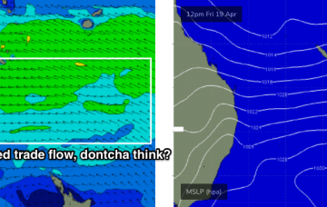
We’re locked in a somewhat stationary synoptic pattern at the moment, thanks to a slow moving high pressure system setting up camp in the eastern Tasman Sea.
Not the most ideal winds over the coming period until the weekend. Easing levels of S'ly swell tomorrow ahead of a mix of building E'ly trade-swells.
Tricky though fun pulses of S'ly swell more so from Sunday through Wednesday ahead of building E'ly trade-swell late week and other developments to our south.
Easing levels of E'ly trade-swell over the coming days, though lingering into next week. New tricky S'ly swell pulse from the weekend but more so Sunday.
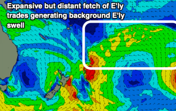
The E’ly flow responsible for our weekend’s E’ly swells has become smaller in size and contracted slightly to the north, into the Coral Sea. However, it’s still positioned favourably for SE Qld and Far Northern NSW. More in the Forecaster Notes.
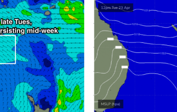
The models have ever so slightly eased back the strength of the coastal ridge which means the E/SE flow shouldn’t be quite as strong, though it’ll be problematic at open beaches. More in the Forecaster Notes.


