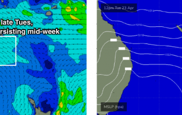
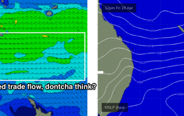
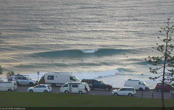
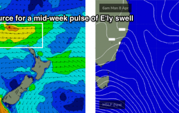
The E’ly flow responsible for our weekend’s E’ly swells has become smaller in size and contracted slightly to the north, into the Coral Sea. However, it’s still positioned favourably for SE Qld and Far Northern NSW. More in the Forecaster Notes.
Primary tabs
The models have ever so slightly eased back the strength of the coastal ridge which means the E/SE flow shouldn’t be quite as strong, though it’ll be problematic at open beaches. More in the Forecaster Notes.
Looks like a steady round of punchy trade swell ahead. More in the Forecaster Notes.
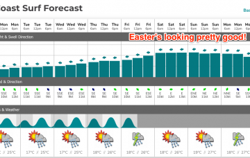
Our Easter swell is being generated by a broadening E’ly fetch atop a large, stationary Tasman high, that’s expected to remain slow moving inside our swell window up until the weekend. More in the Forecaster Notes.
There’s been quite a few changes in the model guidance ever the last 48 hours: Thursday morning saw the Easter swell disappear completely.. this morning’s models jumped it back up to 6ft! More in the Forecaster Notes.
We’ve got some favourable synoptic charts on the boil for next week, thanks to the interaction between a coastal trough, a large, stationary high in the Tasman Sea and a broad region of low pressure through the eastern Coral Sea into the Tropical South Pacific.
We've got an average week ahead, but an improvement is expected over the weekend and then next week looks pretty interesting. More in the Forecaster Notes.
Sunday looks great for SE Qld and Far Northern NSW with a continuation of light variable winds and sea breezes, and a decent boost in size from a long period E’ly groundswell. More in the Forecaster Notes.
Our eastern swell window will remain the focus for the short, medium and long term outlook, and the forecast is generally very positive - plenty of swell, with just occasional bouts of dicey winds. More in the Forecaster Notes.
So, we’ve actually got a couple of additional southerly swells still yet to arrive. But for most regions, this won’t be the dominant swell train in the water. More in the Forecaster Notes.

