A few small options to start spring

freeride76

A few small options to start spring

freeride76

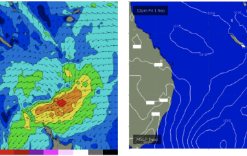
No great change to the weekend f/cast. S swells will be the dominant force in the water through tomorrow, mostly mid period stuff whipped up by a proximate fetch of S-SSW winds generated by a front and trough of low pressure forming in the Tasman.

Easing swells into the weekend

freeride76

Easing swells into the weekend

freeride76

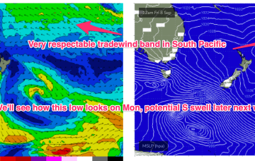
The troughy pattern is about to disrupt the tradewind flow in the Coral Sea, with a South Pacific trough moving south very quickly as it forms up tomorrow. The net result will be easing surf for CQ through tomorrow, likely tiny/flat by Fri and into the weekend. 

A blast of S swell before back to NE swell next week

freeride76

A blast of S swell before back to NE swell next week

freeride76

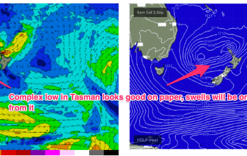
Return flow off the back of a retreating high is feeding N’ly winds into the trough line. We’re expecting a front to interact with the trough overnight Thurs to form a low pressure trough in the Tasman. This trough then absorbs another trough of low pressure moving south from the South Pacific islands to form a large area of low pressure near New Zealand

A minor downgrade (again!) but still a workable mixed bag of S and E swells ahead

freeride76

A minor downgrade (again!) but still a workable mixed bag of S and E swells ahead

freeride76

This trough then absorbs another trough of low pressure moving south from the South Pacific islands to form a large area of low pressure near New Zealand. Compared to Mondays notes the components of this complex pattern all look a little weaker and more mobile with reduced swell generating potential, but we will still see some useful pulses from the various incarnations of the broad pattern.