Current onshore pattern with large surf extends into next week

freeride76

Current onshore pattern with large surf extends into next week

freeride76

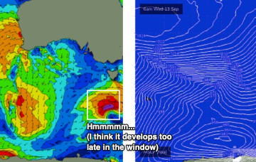
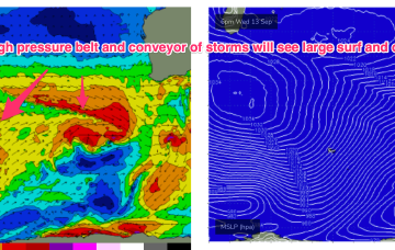
The current winter-calibre storm exits to the SE over the next 24 hrs with a high pressure to the north maintaining a ridge with the W’ly flow which continues across the SW of the state. An elevated high pressure belt over the state and high in Madagascan longitudes maintains a NE track of storms from Heard Island to WA longitudes.

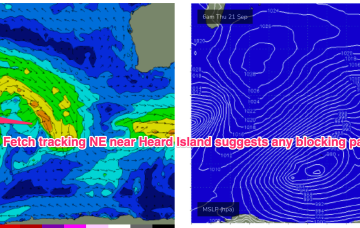
Easing S swells with some NE swell next week

freeride76

Easing S swells with some NE swell next week

freeride76

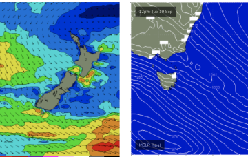
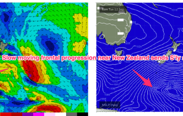
We still have a large (1032hPa) high slow moving over NSW directing light N’lies over Tasmania. A slow moving frontal progression is gradually working it’s way clear of New Zealand longitudes while sending pulses of S’ly groundswell our way. High pressure does clear the coast this week with an increasing N’ly flow before a zonal pattern brings a W-NW flow for the weekend.

S'ly groundswell pulse then back to E-E/NE swell from the weekend, becoming sizier next week

freeride76

S'ly groundswell pulse then back to E-E/NE swell from the weekend, becoming sizier next week

freeride76

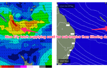
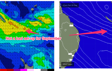
We still have a large (1032hPa) high slow moving over NSW directing light N’lies over temperate NSW and SE winds in the sub-tropics, extending out to a tradewind fetch adjacent to New Caledonia. A slow moving frontal progression is gradually working it’s way clear of New Zealand longitudes while sending pulses of S’ly groundswell our way.

S'ly swells finally ease this weekend with some tropical E/NE swell next week

freeride76

S'ly swells finally ease this weekend with some tropical E/NE swell next week

freeride76

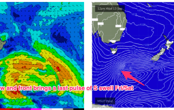
We still have a large (1032hPa) high slow moving over NSW directing light N’lies over temperate NSW and SE winds in the sub-tropics. A slow moving frontal progression is gradually working it’s way clear of New Zealand longitudes while sending pulses of S’ly groundswell our way.