Swells ease a notch but more windows of good winds as storminess gradually abates in the Indian Ocean

freeride76

Swells ease a notch but more windows of good winds as storminess gradually abates in the Indian Ocean

freeride76

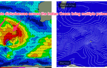
We’re on track for reduced storminess in the short/medium term with the very active late season Indian Ocean storm track starting to settle down a few notches (still active though) and some better quality windows of light or offshore winds on track for SWWA.

Waiting for the next SE surge to deliver more waves

freeride76

Waiting for the next SE surge to deliver more waves

freeride76

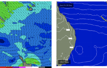
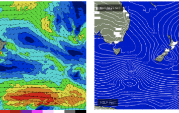
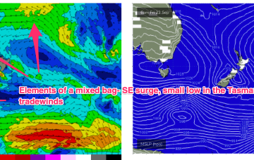
High pressure is now close to New Zealand, with an advancing trough and cold front bringing a fresh S’ly change, expected to generate a strong SE surge up the sub-tropical coast as a new high moves into the Bight and strengthens. Once the new high high moves into the Tasman over the weekend it’ll set up a blocking pattern with constant SE-E/SE winds and plenty of fun sized surf.

Low energy outlook so grab what you can

freeride76

Low energy outlook so grab what you can

freeride76

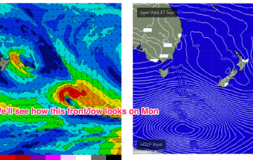
Small fronts and lows bring some minor S swell pulses to the NE corner later this week, before high pressure drifts across the Island and brings calm conditions. A few small swell sources are possible but in general we’re looking at a quiet period. 

Strong SE surge brings plenty of short range swell with E'ly tradewind swell continuing to chug away

freeride76

Strong SE surge brings plenty of short range swell with E'ly tradewind swell continuing to chug away

freeride76

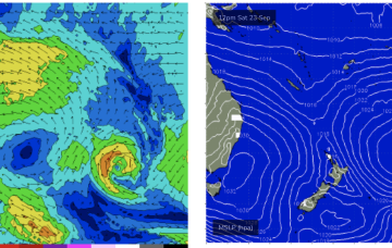
High pressure is now close to New Zealand, with an advancing trough and cold front bringing a fresh S’ly change, expected to generate a strong SE surge up the sub-tropical coast as a new high moves into the Bight and strengthens. Once the new high high moves into the Tasman over the weekend it’ll set up a blocking pattern but we’re expecting a few small S pulses leading up to that although winds look fickle. E’ly trade-wind swells continue at small levels into the short/medium term.

Workable mixed bag of swells continues the current spring pattern

freeride76

Workable mixed bag of swells continues the current spring pattern

freeride76

High pressure is now close to New Zealand, with an advancing trough and cold front bringing a fresh S’ly change, expected to generate a strong SE surge up the sub-tropical coast as a new high moves into the Bight and strengthens. Once the high moves into the Tasman over the weekend it’ll set up a blocking pattern but we’re expecting a few small S pulses leading up to that although winds look fickle. E'ly swell from persistent tradewind fetches should continue as a fun background source of swell.