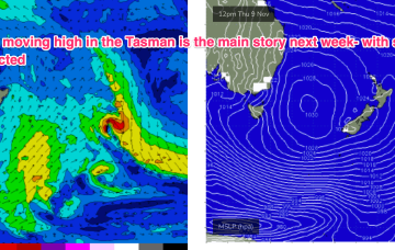
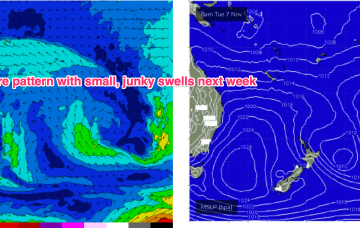
Blocking high in Tasman next week see small E'ly swells and onshore winds

freeride76

Blocking high in Tasman next week see small E'ly swells and onshore winds

freeride76

The trade flow is enhanced by another tropical development linked to a Westerly wind burst (WWB) extending from PNG longitudes into Fijian areas. This WWB is creating a long, angled trough through the South Pacific Convergence Zone and squeezing onto the large high as it moves slowly in New Zealand longitudes.

Easing swells into the weekend with a junky period ahead

freeride76

Easing swells into the weekend with a junky period ahead

freeride76

The deep Tasman low near the North Island has now dissipated and left the building with a small low in the Central/Southern Tasman supplying small S swells and an even smaller trough of low pressure off the Far North Coast directing SE winds onto the coast. This pattern remains slow moving as large high slowly approaches from South of the Bight and multiple inland troughs supply unstable weather.