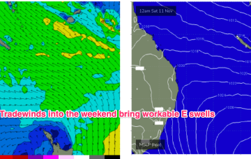
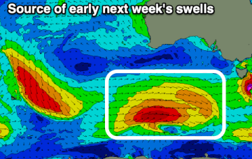
Active period ahead with sizey NE winds swell and strong S pulses next week

freeride76

Active period ahead with sizey NE winds swell and strong S pulses next week

freeride76

A weak ridge up the sub-tropics has a lighter E’ly flow with stronger N-NE winds south of the MNC down to the South Coast and Tasmania. We’ll see this pattern persist with increasing NE windswell across NE Tas this week. A strong frontal progression is expected to provide a series of S swells next week. 

Lots of activity around the compass with sizey S groundswells next week

freeride76

Lots of activity around the compass with sizey S groundswells next week

freeride76

The pattern established on Mon is now well entrenched with a slow moving high in the Tasman slowly being squeezed on the western flank by approaching trough systems. A weak ridge up the sub-tropics has a lighter E’ly flow with stronger N-NE winds south of the MNC down to the South Coast. We’ll see this pattern with increasing NE windswell in Central NSW and some workable trade swell in the sub-tropics. A strong frontal progression is expected to provide a series of S swells next week. 
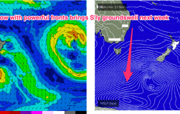
Fun tradewind swell episode ahead

freeride76

Fun tradewind swell episode ahead

freeride76

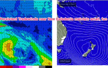
A slowly developing tradewind flow in the Coral Sea will see a small E’ly swell signal become workable through the  week, with signs we’ll see a perk up in size late this weekend and early next week. 

Plenty of workable NE windswell biggest late in the week

freeride76

Plenty of workable NE windswell biggest late in the week

freeride76

The high initially weakens with a lighter onshore flow before re-strengthening as it approaches New Zealand and has the pressure gradient tightened on the western flank by the complex trough systems. That will produce a N’ly flow, expected to increase as the week goes on with increasing NE windswell late in the week and early weekend.