/reports/forecaster-notes/western-australia/2022/03/02/fun-run-surf-period
Craig
Wednesday, 2 March 2022
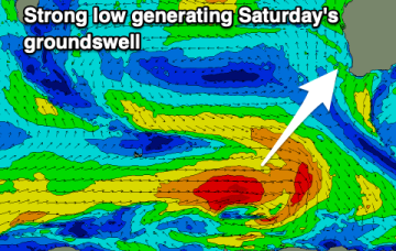
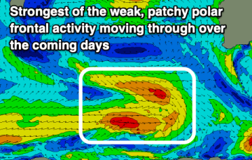
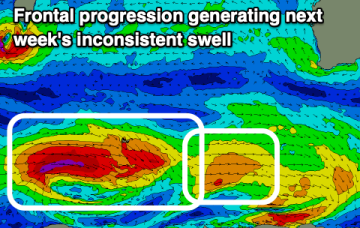
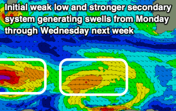
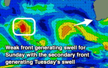
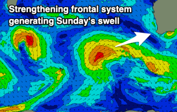
Great winds from Friday with fun pulses of swell for the South West.
/reports/forecaster-notes/western-australia/2022/02/28/windy-couple-days-improving-later-week
Craig
Monday, 28 February 2022
A good mix of swells for the coming days but with generally poor winds, smaller but cleaner from Friday through early-mid next week.
/reports/forecaster-notes/western-australia/2022/02/25/average-period-winds-set-spoil-swell
Craig
Friday, 25 February 2022
Fading surf on the weekend with increasing winds, windy and more onshore through mid-next week with some better swell. Better surf from next weekend.
/reports/forecaster-notes/western-australia/2022/02/23/windy-small-days-ahead-increasing-surf-next
Craig
Wednesday, 23 February 2022
Finding a window of clean conditions with a bit of size will be tricky over the coming period but there's more opportunity through next week.
/reports/forecaster-notes/western-australia/2022/02/21/small-swells-south-south-east-winds
Craig
Monday, 21 February 2022
Nothing major this period so I hope you made the most of later last week and the weekend.
/reports/forecaster-notes/western-australia/2022/02/18/good-swell-average-winds-tomorrow
Craig
Friday, 18 February 2022
There's a good new swell due tomorrow but winds won't be as favourable as they have been. Cleaner conditions are due as the swell fades steadily.
/reports/forecaster-notes/western-australia/2022/02/16/great-surf-over-the-coming-days
Craig
Wednesday, 16 February 2022
A great summer swell with favourable winds over the coming days so make the most of it.
/reports/forecaster-notes/western-australia/2022/02/14/good-run-surf-the-state
Craig
Monday, 14 February 2022
Good swells with some great winds to work around and some sizey days for the South West.
/reports/forecaster-notes/western-australia/2022/02/11/good-run-surf-coming-the-south-west
Craig
Friday, 11 February 2022
Fun swells with decent winds for the coming period and plenty of windows for a surf.
/reports/forecaster-notes/western-australia/2022/02/09/fun-surf-options-period
Craig
Wednesday, 9 February 2022
We've got good pulses of swell with decent winds over the coming period and plenty of options.

