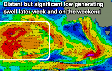
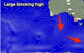
Large swells over the coming period with plenty of wind to work around. Windows of good to great waves.
Primary tabs
Building windy surf over the coming days, large Saturday, with a secondary bigger swell to follow up.
A steady increase in size later week and becoming large with winds from the western quadrant. Possible follow up swell early next week.
A small subdued period of waves ahead of large and windy developments late next week and into the weekend.
Easing swell with winds out of the north-eastern quadrant. Slow on the weekend though and into early next week.
Good surfing options across both regions this week with a large W/SW groundswell and varying winds from west to east.
A windy and mixed weekend of surf with a very inconsistent W/SW groundswell tomorrow and new mid-period swell Sunday. Larger and stronger swells due next week.
Clean but windier conditions over the coming days with a slow increase in W/SW-W groundswell. Larger W/SW groundswell into next week.
Favourable conditions but no swell over the coming days, with inconsistent and tricky westerly swells later week and on the weekend. Better developments next week.
A very inconsistent swell for the weekend and not the best winds, cleaner next week but fading. New swell late week.

