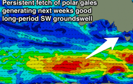
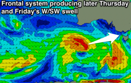
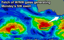
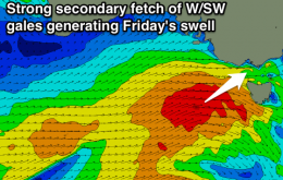
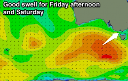
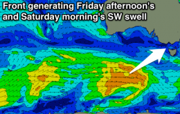
Tiny onshore tomorrow ahead of a late increase in new swell, peaking Friday with light onshore winds and workable conditions. Onshore again Saturday as the swell eases, better on the Mornington Peninsula Sunday morning.
Primary tabs
Easing swell with favourable winds for exposed breaks the next two days. Tiny onshore Thursday with a late increase in new swell, peaking Friday with light onshores.
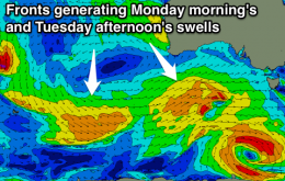
Slowly easing swell all weekend with offshore winds for the Surf Coast each morning. New swell for Monday but onshore, cleaner and easing Tuesday, best to the east.
Easing surf with favourable winds for both coasts tomorrow morning, strong new SW swell filling in Friday, clean on the Surf Coast through the morning. Good again Saturday morning, easing further Sunday with variable winds.
New fun swell tomorrow and Wednesday with favourable winds. Smaller and best on the Surf Coast Thursday and Friday mornings ahead of a good SW swell into the afternoon, fun into the weekend.
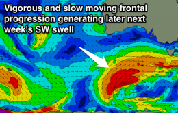
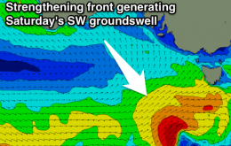
New SW swell with favourable winds for the Surf Coast Saturday morning, easing and improving east of Melbourne through Sunday. Clean both coasts Monday and Tuesday with fun sized surf. Large SW swell for later Friday/Saturday.
Fun SW swell but with moderate onshores tomorrow, with a better pulse Friday morning with early W/NW winds on the Surf Coast. A further pulse of SW swell Saturday with light to moderate onshores, easing Sunday and Monday with favourable winds for the Mornington Peninsula.
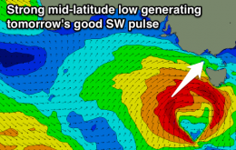
Strong new SW swell tomorrow with fresh to strong SW winds, easing Wednesday with better W/NW winds around Torquay through the morning. Plenty of swell to end the week but less than ideal winds.
Easing clean swell early tomorrow morning ahead of a late morning onshore change. Building swell Sunday afternoon, better Monday morning with favourable winds for the Surf Coast. Plenty of swell through the rest of the week but onshore.
Easing swell with lingering light onshores tomorrow, smaller Friday morning as light onshores continue. New SW swell for the afternoon, easing Saturday and clean.

