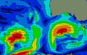
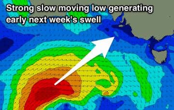
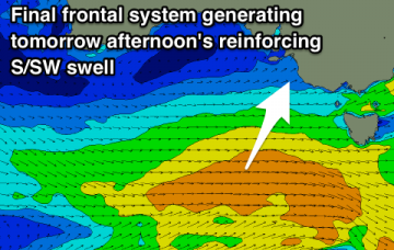
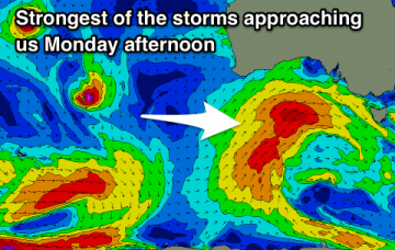
Good swell tomorrow but with generally average winds, likely cleaner into Wednesday with another swell later week.
Primary tabs
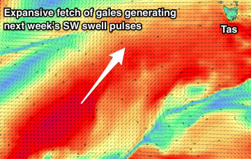
Easing surf with average winds for the most part on the weekend. Strong swells due through next week but winds will only be favourable for the Mid Coast.
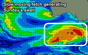
Solid easing swell with periods of cleaner though not perfect conditions across the South Coast, tiny on the Mid. Average weekend with smaller swells and dicey winds, new swell for early next week.
Lots of wind and swell on the build tomorrow, peaking mid-week but best on the backside when it eases with lighter winds.
Building swell energy and size from tomorrow with plenty of wind, messiest Tuesday. Good windows of cleaner conditions across the South Coast.
Poor winds and weak swells until Sunday when some better surf with more strength and favourable winds develop. Hold out until then.
Poor winds and swells for the most part this week besides one morning. Increased swell and wind activity from Sunday owing to the LWT.
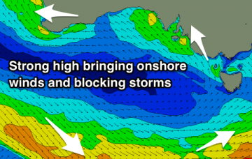
Nothing great this period with onshore winds for the most part and weak swells. One day of fun waves before it goes poor.
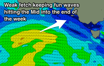
Average winds for the South Coast to end the week, fun at the right times on the Mid Coast. Small window of fun surf for the weekend, average early next week.
Good swells and favourable winds for both coasts this week with options galore if you're flexible.

