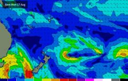
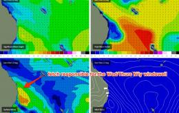
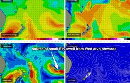
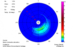
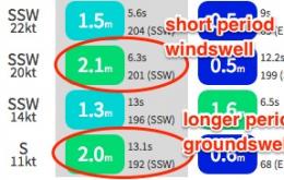
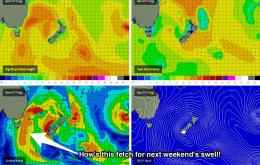
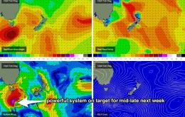
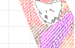
The new SE swell that’s filling into the coast right now originated from a small cutoff low that formed off the West Coast of New Zealand’s South Island on Saturday.
Primary tabs
No changes to the weekend forecast. The current south swell will ease a little into Saturday, but we should still see early 3-4ft sets at south facing beaches across Northern NSW. Due to the southerly swell direction, surf size will remain very small in SE Qld away from south swell magnets.
Thursday is looking at a building southerly swell from a south-west fetch that’s expected to develop off the Southern NSW coast early in the day.
Still, based on what we’ve seen in Southern NSW today, south facing beaches in Northern NSW should see 3ft sets early Tuesday, becoming smaller into the afternoon.
We’ve got another round of southerly swell pushing up the coast, and it’s going to provide some great waves on Sunday.
Meanwhile, our southern swell window is amping up again and this will be the dominant theme for the entire forecast period.
A gusty southerly change will extend along the Northern NSW coast overnight, and should reach SE Qld in the early hours of the morning. This is the precursor to an extended period of southerly swell for the entire region.
Today's long period south swell performed marginally better than expected across most of the NSW coast. And based on what we saw across Southern NSW late this afternoon, we should see it continue into Northern NSW on Saturday morning.
The southerly swell of the last few days will steadily ease in size over the coming days.
We’ve essentially got one major swell system within the forecast period, and one minor swell system.

