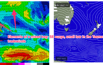
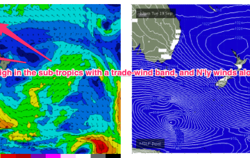
The high pressure belt is behaving in typical spring fashion- tracking NE as it enters the Tasman with episodic N’lies. We’ve got a small fetch out of Cook Strait at present from a decaying low pressure system, and small, compact low about to enter the Tasman. Combined with some swell from a tradewind band feeding into a long trough we’ll see concurrent small swells from these sources.
Primary tabs
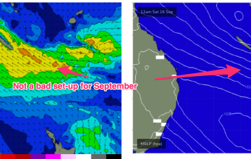
A tradewind band thickens up in the South Pacific over the weekend and tilts more E/NE as winds feed into a long trough. That should see E'ly swell bump up a notch into Tues and Wed.
Strong SE surge brings plenty of short range swell with E'ly tradewind swell continuing to chug away
High pressure is now close to New Zealand, with an advancing trough and cold front bringing a fresh S’ly change, expected to generate a strong SE surge up the sub-tropical coast as a new high moves into the Bight and strengthens. Once the new high high moves into the Tasman over the weekend it’ll set up a blocking pattern but we’re expecting a few small S pulses leading up to that although winds look fickle. E’ly trade-wind swells continue at small levels into the short/medium term.
A tradewind band has slowly weakened and contracted eastwards but is expected to remain slow moving this week, maintaining a fun signal of E-E/NE swell.
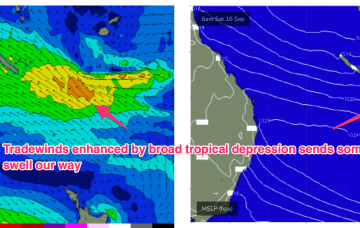
A mixed bag still expected this weekend with residual S swell trains and building E-E/NE swells from a broad, angular tropical depression centred around New Caledonia.
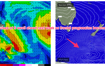
We still have a large (1032hPa) high slow moving over NSW directing light N’lies over temperate NSW and SE winds in the sub-tropics, extending out to a tradewind fetch adjacent to New Caledonia. A slow moving frontal progression is gradually working it’s way clear of New Zealand longitudes while sending pulses of S’ly groundswell our way.
A big dominant high (1032hPa) is sitting over SE Australia, with a series of powerful fronts passing well to the south and the progression slowed in New Zealand longitudes. The high is slow moving, setting up a dichotomy with N’ly winds across temperate NSW and a more SE flow in a ridge along the sub-tropics. Across all regions we’ll see pulses of S’ly groundswell this week from the deep fetches located in the Far Southern Tasman.
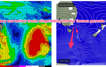
The headline act is a complex low system approaching Tasmania with an embedded front and linked to a long inland trough. A NE-E/NE infeed into this system is producing swell from that quarter today and as the low clears the swell shadow of Tasmania we’ll start to see swells from the S. Following systems next week look to generate stronger, longer period S’ly swells.
A front and small low are now racing across the Tasman with a high over NSW moving into the Tasman and directing a freshening N’ly flow across most of the Eastern Seaboard and a developing tradewind flow. So far, so spring. A complex low, front and trough then approaches from the W, bringing a flush of W’ly winds and a S swell.
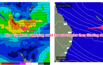
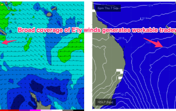
E’ly tradewinds look to develop through the Coral Sea later this week bringing workable E/NE swells.


