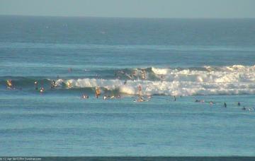
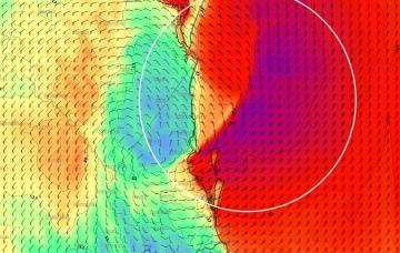
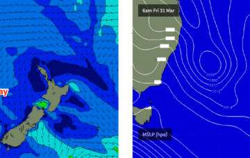
With this swell now the single source of energy in the water, it’d be quite possible to rock up and watch the surf for fifteen minutes and not see a single wave. So bear this in mind when choosing a populated lineup, as there won’t be many waves to go around.
Primary tabs
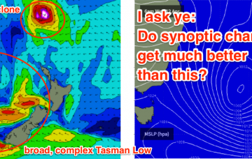
I am also expecting a new E’ly swell to build through Saturday - a very distant, infrequent E’ly pulse from a broad, complex system way out in the South Pacific earlier this week.
It was interesting to see the ASCAT and Windsat passes from TC Cook once it crossed New Caledonia on Tuesday - the recorded winds from the satellites didn’t match what the models had been suggesting, so confidence dropped for the E/NE cyclone swell. However, it still came in as per Monday’s expectations.
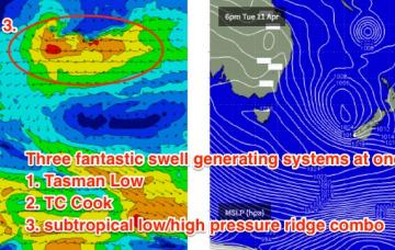
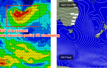
While all of this is going on, Tropical Cyclone Cook will have crossed New Caledonia, reentered the lower Coral Sea under a SW track but then recurved to the SE, towards New Zealand. This cyclone looks really impressive with surface winds upwards of 85kts, however there are several limiting factors that will impact surf size for us.
We’re still looking at a couple of tropical cyclones in the South Pacific over the forecast period.
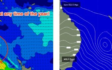
A rebuilding trough of low pressure over the Coral Sea will freshen trade winds in our mid range swell window and thus kick up a fun E’ly swell for SE Qld this weekend.
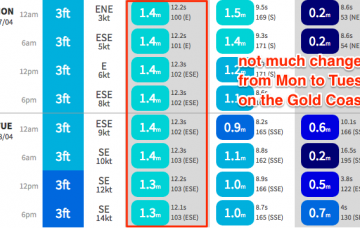
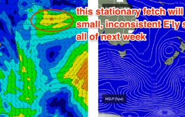
A strong ridge extends across the Central/Northern Tasman Sea, aimed up into the Coral Sea. This fetch is stationary, aimed nicely into the Coral Sea and will continue to pump out similar sized surf over the coming days.
The next week looks unreal for the SE Qld points.
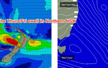
The remains of TC Debbie are tracking southwards, and will merge with a northwards advancing southerly change that’s due to push across Northern NSW overnight Thursday and into Friday morning.
As it turned out, TC Debbie developed a little more slowly than initially thought, tracking very slowly to the mainland but at the same time, broadening the width of the fetch as it strengthened. Although right on the periphery of the swell window, this has resulted in a much bigger swell than initially expected.

