/reports/forecaster-notes/south-east-queensland-northern-new-south-wales/2016/10/14/small-average
thermalben
Friday, 14 October 2016
Saturday morning should offer the best waves of the weekend. But, keep your expectations low as there’s not going to be a lot of quality.
/reports/forecaster-notes/south-east-queensland-northern-new-south-wales/2016/10/12/average-mix
thermalben
Wednesday, 12 October 2016
Unfortunately, we’ve had a downgrade in the strength of Thursday’s southerly change.
/reports/forecaster-notes/south-east-queensland-northern-new-south-wales/2016/10/10/building-swells
thermalben
Monday, 10 October 2016
Friday should provide the best day of surf this week.
/reports/forecaster-notes/south-east-queensland-northern-new-south-wales/2016/10/07/easing-sly-swell
thermalben
Friday, 7 October 2016
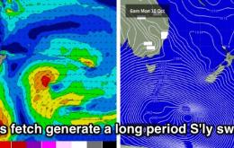
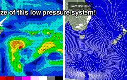
Of much more interest to SE Qld surfers is a potential tropical system that’s popped up recently in the model runs, south of Fiji around Monday.
/reports/forecaster-notes/south-east-queensland-northern-new-south-wales/2016/10/05/strong-south
thermalben
Wednesday, 5 October 2016
We’ve got a complex week of multiple south swells ahead.
/reports/forecaster-notes/south-east-queensland-northern-new-south-wales/2016/10/03/moderate
thermalben
Monday, 3 October 2016
We’ve got a tricky forecast period ahead for Northern NSW, with a number of complex south swell sources.
/reports/forecaster-notes/south-east-queensland-northern-new-south-wales/2016/09/30/tiny-conditions
thermalben
Friday, 30 September 2016
I’ve been discussing the possibility of a flat weekend since Monday, and unfortunately it looks like it’s going to come true for just about everywhere.
/reports/forecaster-notes/south-east-queensland-northern-new-south-wales/2016/09/28/small-sly-swell
thermalben
Wednesday, 28 September 2016
Early Friday morning should bear some fruit across exposed beaches in the Far North
/reports/forecaster-notes/south-east-queensland-northern-new-south-wales/2016/09/26/small-southerly
thermalben
Monday, 26 September 2016
Friday has some good potential for some good NE windswell across most coasts.
/reports/forecaster-notes/south-east-queensland-northern-new-south-wales/2016/09/23/fun-weekend
thermalben
Friday, 23 September 2016
Looks like a pretty good weekend of waves for Northern NSW. But once again, SE Qld will dip out in the surf department.

