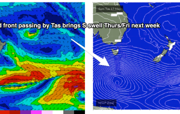
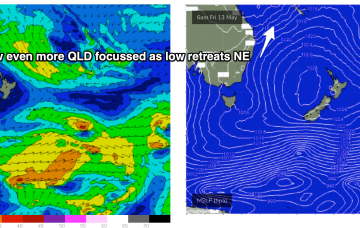
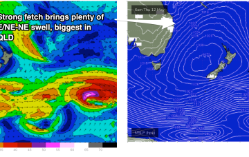
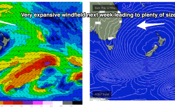
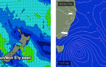
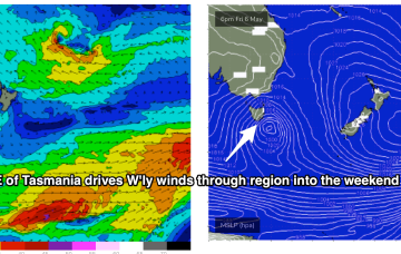
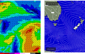
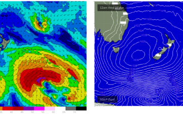
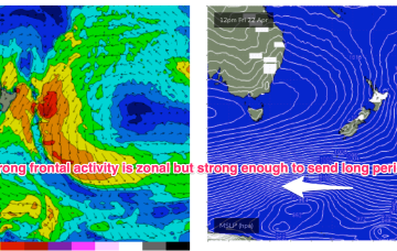
No great change to the weekend f/cast. The fetch of deep E to E/NE winds in the Coral and Northern Tasman Sea is contracting northwards around a surface low off the CQ/Fraser coast, and expected to fizzle out over the weekend.
Primary tabs
No great changes to the front end of this weather/surf event, which is starting to kick into gear now. The latter stages have been wound back a few notches, reducing the expected wave heights over the peak of the swell, so let’s take a look at it.
A large high is now moving into the Tasman Sea and strengthening- that will be the main synoptic feature this week- setting up a deep ridge and a strong E’ly pattern through the Tasman Sea. Further north an interior upper trough and potential coastal trough/surface low will combine to drive an intense E/NE to NE wind flow through the Coral and Northern Tasman Sea.
That high will set up a ridge through the week and essentially be the “anvil” for any trough or low pressure development in the Tasman or Coral Sea. A coastal trough off SEQLD/Fraser Coast and interior upper trough combine through the start of next week to increase SE/E winds, initially in the Coral Sea.
We’ve got more of the same for the next few days, if anything with a slight improvement on the surface as a frontal passage brings westerly winds to the coast.
High pressure is sitting over the interior of Central NSW, leading to wonderful, settled conditions, with a trade flow in the South Pacific supplying a steady drumbeat of small, fun E/NE swell.
A quick scan of the hindcast charts shows a phenomenal polar low well SE of New Zealand, generating a Code Red swell for Tahiti - but it’s just on the periphery of our flukey SE swell window and will probably generate some small intermittent sideband energy.
A large 1029 hPa high pressure system is sitting smack bang in the middle of the Southern Tasman Sea in a strengthening phase, with a series of tropical troughs in the Northern Coral Sea beginning to expand Tradewinds through the tropics.
The dominant high which has been slow moving is inching into the Tasman Sea, with winds set to take a N’ly turn as it drifts eastwards and we get the flow off the western flank of the high. This slow moving high will essentially block the Southern swell window but we have one more pulse of long period S swell due this ‘noon.
Winds look good Sunday morning, which is great news because a great blend of swell trains is expected to make landfall through the day.

