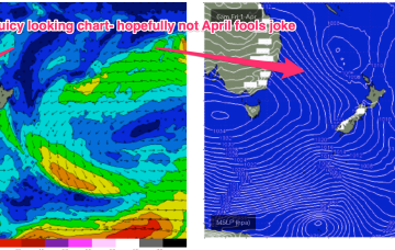
Looks like more of the same for the next few days.
Primary tabs
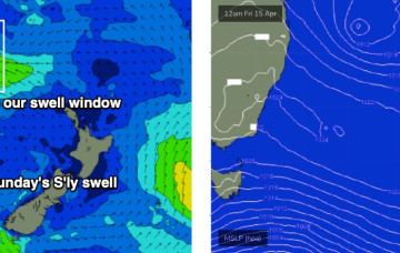
A more dominant southerly swell will arrive overnight tonight, sourced from a deep low south of Tasmania early in the week.
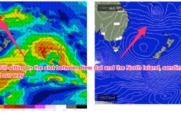
TC Fili is still active within our swell window, and will probably only transit into the New Zealand swell shadow tomorrow, which means some form of east swell all week.
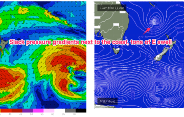
A large 1031 hPa high straddling Tasmania ( no longer a peanut high) is extending a deep E’ly flow along the f/cast region. TC Fili has weakened and is drifting southwards to the SE now of New Caledonia, anchored by a long fetch of E’ly winds from the cradling high. That equals lots of East swell through the coming days, but we’ve still got some onshore winds to slog through.
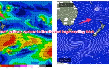
TC Fili is expected to track into the slot and stall- roughly equidistant between New Caledonia, the North Island and the East Coast of Australia. At some stage it will lose intensity and become extra-tropical but even as an ex TC the overall cradling fetch of E’ly winds is going to supply days of E’ly swell.
It's a classic "Summer" looking synoptic pattern and indicative of the La Nina pattern hanging on.
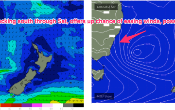
That will offer a window of improving conditions at Big Wave Spots, albeit under strong offshore conditions, which will make any offshore bombies hard to ride.
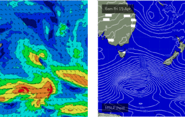
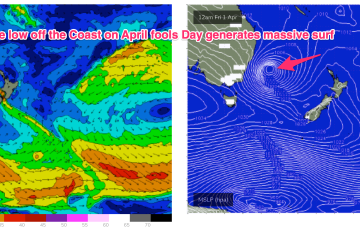
A trough of low pressure associated with the current sub-tropical low deepens rapidly through tomorrow in response to the influx of cold air, forming a storm force low pressure system off the NSW Central Coast overnight Thursday into Friday.
OK, it’s going to be a wild week so lets look at the moving parts and sketch out the order of events, whilst acknowledging that it will be a highly dynamic outlook requiring fine tuning as the troughs, front, upper trough and expected eventual storm force surface low all interact.
This is then augmented by a major front pushing into the Tasman, merging with the surface low to create a large area of low pressure in the Tasman.

