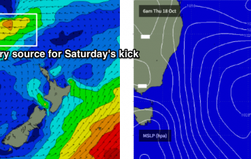
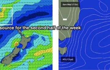
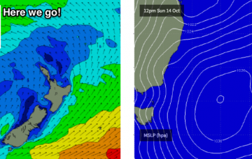
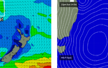
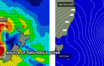
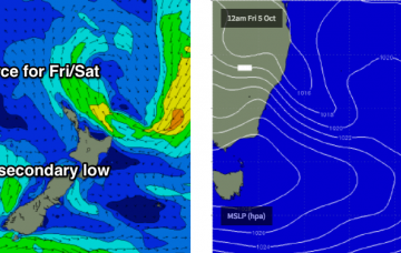
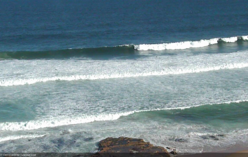
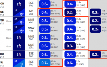
There won’t be any shortage of surf this weekend. However, conditions will be quite mixed. More in the Forecaster Notes.
Primary tabs
Water temps are reportedly down 1-2 degrees since the start of the week, and I wouldn’t be surprised if it drops a little more as we head towards the weekend. So you may need to being back the winter rubber!
I’ve never been one to simplify a forecast when a thesis will suffice, but the fact is that the surf outlook for this week is relatively straight forward, in a broad synoptic sense anyway.
We’re still expecting a deepening coastal trough off SE Qld early next week. In fact, it’s expected to slowly meander within our swell window until about Thursday which means it’ll generate E/NE energy all the way through until next weekend. More in the Forecaster Notes.
Unfortunately, the recent downgrade of the Tasman Low wasn’t the only model influence on the synoptics. Read all about it in the Forecaster Notes.
So, we've got a bloody good weekend coming up, it would seem.
Next week looks very dynamic, with an upper trough approaching from the west, combining with an intense polar outbreak to generate either a deep Tasman Low or a possible East Coast Low.
What’s going to affect our surf much more prominently is a developing trough off the South Coast that’s expected to form a closed system during Thursday, possibly a Tasman Low (just an outside chance for an ECL now).
It doesn’t get much more complex than what we have in front of us right now. We've got a wide range of swells and possible an East Coast Low forming later in the week.
The synoptic are really busy for next week, and we have a wide variety of tricky swell sources on the way. In fact, most of the likely energy we’ll see will be generated from distant sources off the usual charts.

