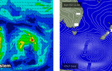
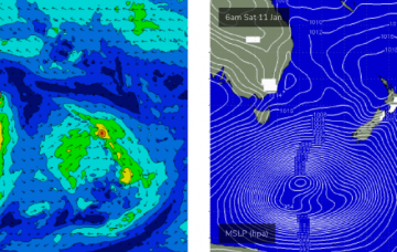
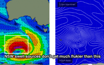
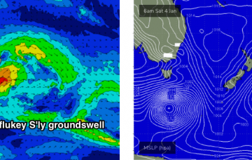
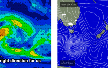
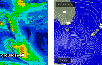
We’re still looking at a very large, significant southerly groundswell event to kick off the working week. More in the Forecaster Notes.
Primary tabs
The low responsible for Sunday’s late groundswell increase looks incredible on the charts. And whilst the models are showing a decent kick in size, I think this is being way undercooked. More in the Forecaster Notes.
The models really don’t like the current underlying long period S’ly swell. Not to worry, there's a few more on the way! More in the Forecaster Notes.
The impressive mid-latitude low I was discussing all last week is still looking, well, impressive. More in the Forecaster Notes.
There's one more pulse of cyclone swell on the way, then a mix of different swells for the rest of the period. More in the Forecaster Notes.
Plenty of surf for the next week or more, from a wide variety of sources. More in the Forecaster Notes.
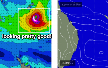
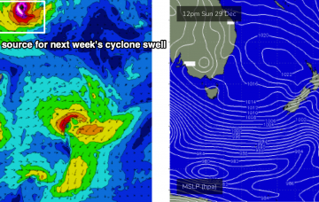
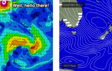
Whilst all of this is going on, a brand new NE tending E/NE cyclone swell will have started to filer down the coast, generated by TC Sansai which is currently north of Fiji, inside our swell shadow. It’s expected to push into our swell window by tomorrow, though will initially be unfavourably setup for our region. More in the Forecaster Notes.
After a such a complex forecast for the last week or so, we’re finishing the rest of the week with a relatively benign outlook. But, there's still a cyclone swell on the way. More in the Forecaster Notes.
As mentioned in Friday’s notes, a Tropical Cyclone is expected to form north of Fiji around Xmas Day or Boxing Day. Current expectations have it tracking south, finally entering our swell window this Friday or Saturday. More in the Forecaster Notes.
So, the long period southerly swell for early next week still looks incredible. More in the Forecaster Notes.

