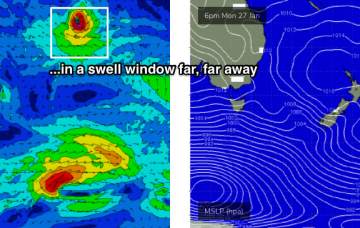
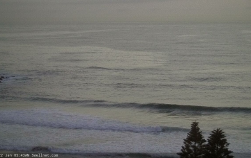
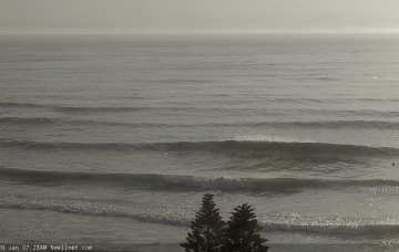
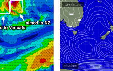
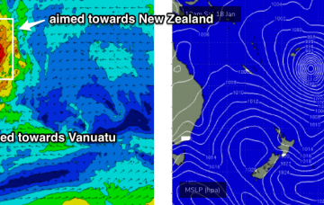
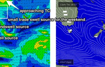
It’s very difficult to have any kind of specific confidence in the surf outlook for the weekend... there’s a lot of variability in the wind outlook. But what I am confident in is that we’ll see steadily building E’ly swells. More in the Forecaster Notes.
Primary tabs
We’ve got stacks of surf on tap for this weekend. But only one window of opportunity. And later next week looks juicy! More in the Forecaster Notes.
There are much more interesting swell sources on the boil for next week - it appears to be a slow moving, if not stationary synoptic pattern which means a lengthy swell event of some description. More in the Forecaster Notes.
There’s nothing special expected in the surf department this week. Next week looks much more interesting though. More in the Forecaster Notes.
Plenty of peaky waves in the short term, whilst long term swell prospects are to our (distant) east north-east, and then north-east. More in the Forecaster Notes.
An ordinary period ahead, though there will be waves on offer. More in the Forecaster Notes.
We've got another week of active swell sources, though down a little from what we've seen over the last few days. More in the Forecaster Notes.
A million swell sources on the boil, none of ‘em epic. But there’ll be waves a-plenty if you can work around the winds. More in the Forecaster Notes.
The large cyclone developing near Fiji at the moment looks quite impressive on the synoptics, but when you analyse the surface wind field, it’s a little more disappointing. More in the Forecaster Notes.
It’s hard to have confidence where we are with the current swell cycle. And this can affect the short term outlook quite a bit. More in the Forecaster Notes.

