We’re looking at an extended run of E’ly swell as the trades firm up and broaden through the swell window. More in the Forecaster Notes.
Primary tabs
The sheer size, strength and alignment of the fetch is incredible, and the recent model trends are a positive sign at under 4 days out from genesis. More in the Forecaster Notes.
A rebuilding pair of ridges - one in the central Tasman Sea and another through the Coral Sea - will generate a sustained period of small trade swell for much of the East Coast. More in the Forecaster Notes.
With surf size being a little smaller than expected for the last few days, and the only swell source for the weekend being the tail end of the TC Sansai event, we need to recalibrate our size expectations across the region. More in the Forecaster Notes.
Although wave heights have pulled back a smidge today from yesterday, the good news is that we’re expecting another pulse overnight tonight and into tomorrow. More in the Forecaster Notes.
So, with cyclone swell starting to push through the region on schedule, we have to make a call whether to follow model guidance or not. More in the Forecaster Notes.
Bugger. We’ve got a whole week of northerly winds on the cards, coinciding with an otherwise strong cyclone swell out of the east. But there should be brief windows of opportunity across some coasts. More in the Forecaster Notes.
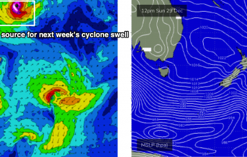
The tropical cyclone mentioned in Monday’s and Friday’s notes is still well and truly on the radar. Unfortunately, we don't have the kind of wind forecast you hope will coincide with an easterly groundswell event of this kind. More in the Forecaster Notes.
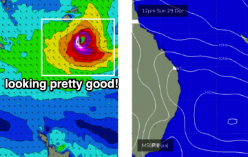
As mentioned in Friday’s notes, a Tropical Cyclone is expected to form north of Fiji around Xmas Day or Boxing Day. Current expectations have it tracking south, finally entering our swell window this Friday or Saturday. More in the Forecaster Notes.
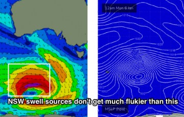
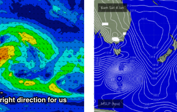
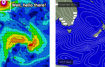
The responsible Southern Ocean low is an absolute beast (see below) and despite being located SW of Tasmania as it undergoes primary swell production, will be sufficiently south in latitude to favour a significant swell event. More in the Forecaster Notes.

