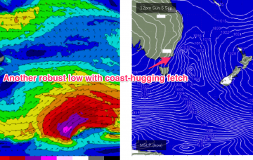
Another long period S swell pulse is expected in tomorrow morning, albeit a notch smaller than today, but you’ll have to get your skates on before the S’ly change hits.
Primary tabs
Below the continent, a very active Southern storm track is continuing to generate large seas with a few pulses of long period swell expected from this source.
A strong SW change is making it’s way up the coast as we speak but the coast-hugging low and subsequent over-sized S swell disappeared from model runs over the weekend. Models have swung back to the original EC resolution which sees a rapid-fire, coast-hugging fetch of strong to gale force SW to S winds through tomorrow..
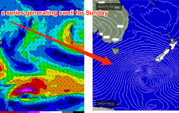
We’re now on the tail end of the swell from this week's Tasman low, with a fun, little sting in the end of the tail expected and some tricky, but largely favourable wind shifts expected this weekend.
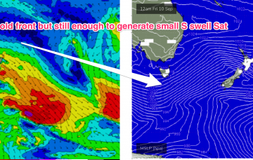
The broad supporting fetch of SSE/SE winds is better aimed at the East Coast but not especially strong and the system is quite mobile, drifting away through today and briefly flaring up tomorrow as it moves over New Zealand overnight Thursday.
This low and a slow moving high pressure cell- now drifting across the Bight and expected to track over Tasmania mid-week will hold a pattern of S’ly winds and developing SE swell through the week.
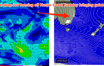
Tuesday is where model divergence becomes apparent. A SE/NW angled trough in the Tasman is likely to deepen on Tuesday 14/9, possibly forming a surface low. GFS model has this low forming off the Central NSW coast, EC forms a low much further north in the Tasman, close to Norfolk Island, with a very different surf outlook from Tuesday onwards.
Not much change expected from Mon’s f/cast notes apart from the timing on the expected long period S pulse over the next 24hrs. ASCAT (satellite windspeed) passes showed plenty of storm force winds associated with the deep low as it transited the Tasman overnight and into this morning.
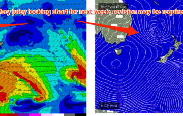
This swell will be generated by a deep low centred around 50S which is expected to track south of Tasmania, with a slight NE wobble as it transits the Tasman on Tuesday. This is a powerful storm, with storm force winds and a large area of seas in excess of 30ft, and as a result swell periods will be in excess of 15s which will produce some real bathymetric focussing effects on deepwater reefs through Wed PM as swell trains get tripped up.
By Mon morning the Tasman sea will be inflamed with severe gale to potentially storm force winds, as a robust low and reinforcing cold front push into the lower Tasman.


