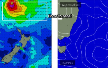
We’ve got a period of small surf ahead, with the Tasman Sea expected to remain devoid of significant swell generating systems. Long term looks good though! More in the Forecaster Notes.
Primary tabs
Xmas Eve is the pick of the next few days, with fresh S/SE winds expected Xmas Day thanks to a trough moving along the coast. More in the Forecaster Notes.
So, what’s that - six or seven different swells this week? I’m sure you’ll find something worthwhile in and amongst the local wind changes. More in the Forecaster Notes.
All eyes remain on Severe TC Yasa, which recently passed over Fiji and has now properly entered our swell window. More in the Forecaster Notes.
At this point in time, with this kind of timeline forecast, we can start to become more confident in the model guidance as it irons out long range aberrations and starts to consolidate across the other solutions. More in the Forecaster Notes.
The whole synoptic cycle seems to have been pushed back a day since Friday’s notes were prepared. More in the Forecaster Notes.
A series of complex tropical systems are forming to our north and they’re going to heavily influence our surf, wind and weather over the coming days. More in the Forecaster Notes.
We’ve got a heck of a lot of easterly swell on the way, but the weekend will be generally much smaller than the sizeable energy due next week. More in the Forecaster Notes.
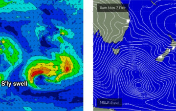
A series of strong lows and fronts across our broader south swell window will set up a series of southerly swells for the next few days. More in the Forecaster Notes.
Sunday’s front will be attached to a large, complex series of low pressure systems crossing the Tasmanian divide early in the week. More in the Forecaster Notes.


