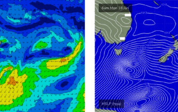
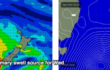
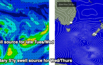
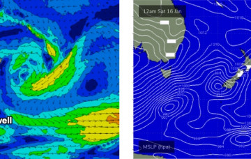
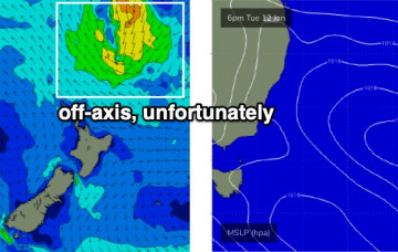
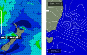
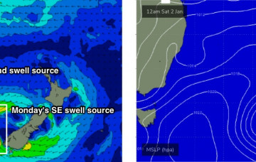
We’ve had a model upgrade for our approaching large southerly swell. More in the Forecaster Notes.
Primary tabs
A slow moving, amplifying node of the Long Wave Trough will drive a series of vigorous fronts through our south swell window over the coming days, setting up an extended pulse of building southerly swells for Southern NSW. More in the Forecaster Notes.
As mentioned on Monday, we’ve got a strong southerly swell cycle on the boil. The weekend will see the early (small) stages of this pattern but the real juice is lining up for the first half of next week. More in the Forecaster Notes.
We’ve got a small week of surf ahead. Next week is a different story. More in the Forecaster Notes.
Conditions should become reasonably good across most coasts as winds tend light and variable under the influence of a new high pressure system moving in from the west. More in the Forecaster Notes.
Moderate to fresh S/SE winds will create average surf conditions for the next few days.
The trough off the coast is very complex, and we’re going to see a myriad of wind changes over the next few days. More in the Forecaster Notes.
Coastal troughiness will persist for the next few days, maintaining generally onshore winds across the region. More in the Forecaster Notes.
The main driver for today’s onshore breeze is the squeeze between a trough off the Mid North Coast, and a high pressure system in the lower Tasman Sea. More in the Forecaster Notes.
In short, it’s shaping up to be a nondescript week of slow, peaky beachies with conditions ranging between kinda-alright and not-really-that-great-to-tell-you-the-truth. More in the Forecaster Notes.

