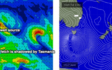
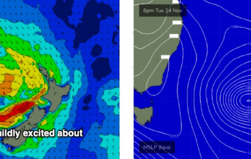
The main synoptic feature is a deep Southern Ocean low that's expected to *almost* bomb just W/SW of Tasmania. By ‘almost’, I mean ‘not quite reach the threshold requirements for a bombing low’, which is a 24hPa drop in 24 hours, though it certainly will come pretty close. More in the Forecaster Notes.
Primary tabs
The weekend outlook is pretty complex. Next week, even more so. More in the Forecaster Notes.
This afternoon’s fun SE swell should persist through Thursday, before easing slowly through Friday. Winds are a little tricky though. More in the Forecaster Notes.
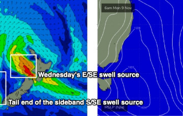
Tuesday’s south swell will ease quickly into Wednesday, and we’ll see a temporary low point early morning, ahead of a new SE swell from the southern flank of the Tasman Low. More in the Forecaster Notes.
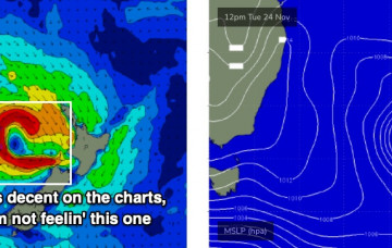
Sunday’s troughy pattern is still expected to develop into an impressive Tasman Low on Monday, but it’s expected to be whisked quickly to the east. This will reduce its size potential for Southern NSW though we should see a couple of days of waves from it. More in the Forecaster Notes.
There’ll be options to finish the working week but expect patchy conditions. Next week looks promising though. More in the Forecaster Notes.
A vigorous front currently pushing through eastern Bass Strait is presently very westerly in alignment which isn’t great for swell prospects. However we’ll see a slight W/SW kink in the synoptic flow overnight and this will provide just enough directional incentive to allow a brief flush of south swell to push up the Southern NSW coast. More in the Forecaster Notes.
Monday has a chance for delivering a 60% version of today. More in the Forecaster Notes.
The outlook for the next few days is relatively straightforward. More in the Forecaster Notes.
A decaying southerly flow through the eastern Tasman Sea will supply small, sideband S/SE swell over the next few days. More in the Forecaster Notes.

