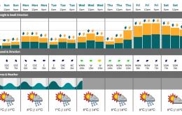
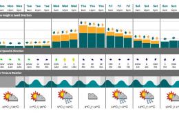
We’ve got an extended period of south swells lining up for Southern NSW, with generally good conditions most days.
Primary tabs
We’ve got a succession of very strong low/front combos sweeping through our south swell window from Saturday through until next weekend (at least), and although they won’t generate large waves for Southern NSW, the swell periods will be strong and the surf will be quite punchy.
Nothing great expected to round off the working week.
Unfortunately, we’re on the backside of the current event so it’s only going to get smaller form here on.
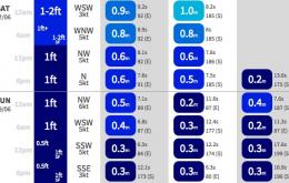
We’ve got a strong but easing S/SE swell expected all day Saturday, ahead of a new S’ly groundswell arriving late Saturday afternoon that’ll dominate proceedings on Sunday.
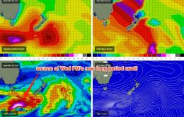
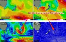
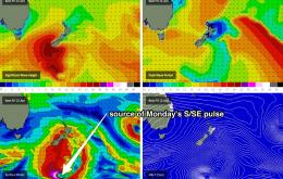
A broad trough developing across the southern Tasman Sea is expected to form two centres of low pressure over the next 24 hours.
With today’s S/SE swell arriving a little earlier than expected, it’s fair to assume that we’ll probably see the backside of this event a little earlier than Friday’s forecast anticipated.
Another strong front in the current progression has generated a new pulse that’ll push across the region Saturday morning.
The frontal progression responsible for the current south swell tracked a little off axis compared to Monday’s model guidance, which has resulted in a slight downgrade for Thursday.
The biggest swell from this pattern is due on Thursday, originating from the strong secondary front.

