/reports/forecaster-notes/sydney-hunter-illawarra/2018/11/12/average-week-waves-ahead-though-therell
thermalben
Monday, 12 November 2018
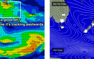
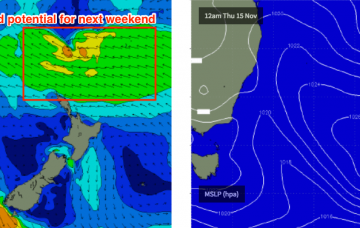
Over the last few days, the models have started to show some interest in a possible Tasman Low forming in the lee of the Thursday/Friday trough, and generating solid swells for the weekend.
/reports/forecaster-notes/sydney-hunter-illawarra/2018/11/09/lacklustre-period-waves-ahead
thermalben
Friday, 9 November 2018
Looking further to the north, and the deepening trough is expected to spawn a possible tropical cyclone by mid-week (between Vanuatu and Fiji).
/reports/forecaster-notes/sydney-hunter-illawarra/2018/11/07/windy-south-swell-ahead-lots-promise-out
thermalben
Wednesday, 7 November 2018
A second, stronger gusty southerly change is moving up the South Coast, with Ulladulla now gusting 21kts (also picking up 22mm of rain, and counting).
/reports/forecaster-notes/sydney-hunter-illawarra/2018/11/05/small-easing-swells-ahead-short-burst
thermalben
Monday, 5 November 2018
The big question for Tuesday is: will there be any leftover south swell?
/reports/forecaster-notes/sydney-hunter-illawarra/2018/11/02/strong-though-flukey-south-swell-ahead
thermalben
Friday, 2 November 2018
Sunday is a complex, dynamic day to look forward to.
/reports/forecaster-notes/sydney-hunter-illawarra/2018/10/31/flukey-swells-finish-week-then-large
thermalben
Wednesday, 31 October 2018
Large surf on the way. Read about it in the Forecaster Notes!
/reports/forecaster-notes/sydney-hunter-illawarra/2018/10/29/tricky-winds-and-smaller-pulsey
thermalben
Monday, 29 October 2018
Today’s strong southerly swell is now easing across the region. However we have a couple of smaller southerly pulses expected over the coming days.
/reports/forecaster-notes/sydney-hunter-illawarra/2018/10/26/plenty-south-swell-couple-clean-windows
thermalben
Friday, 26 October 2018
A series of secondary fronts will move into the lower Tasman Sea behind the weekend’s event, supplying useful south swell through the first half of next week. More in the Forecaster Notes.
/reports/forecaster-notes/sydney-hunter-illawarra/2018/10/24/flukey-swells-and-tricky-winds-ahead
thermalben
Wednesday, 24 October 2018
Noticeable swing in the model guidance for the weekend - in our favour too, which is nice.
/reports/forecaster-notes/sydney-hunter-illawarra/2018/10/22/small-windows-beachies-nothing
thermalben
Monday, 22 October 2018
The synoptics are quite busy at the moment with a surface trough stretching longitudinally across the western Tasman Sea, and a series of fronts pushing through the Great Australian Bight.

