/reports/forecaster-notes/sydney-hunter-illawarra/2017/11/27/small-ene-swells-all-week-building-ne
thermalben
Monday, 27 November 2017
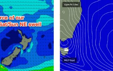
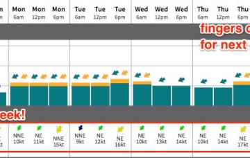
The models have slowed the weekend's approaching trough, but it’s delivering a strong upside for Sydney surfers.
/reports/forecaster-notes/sydney-hunter-illawarra/2017/11/24/extended-period-ne-winds-ene-swell-and
thermalben
Friday, 24 November 2017
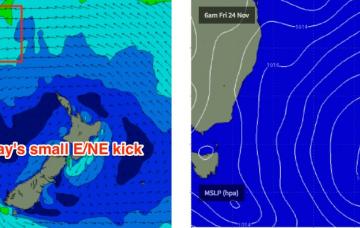
We’ve got some small average waves ahead this weekend.
/reports/forecaster-notes/sydney-hunter-illawarra/2017/11/22/small-kick-ene-weekend-persistent-trade
thermalben
Wednesday, 22 November 2017
Not much surf is expected for the rest of the week.
/reports/forecaster-notes/sydney-hunter-illawarra/2017/11/20/biggest-surf-tuesday-small-finish-week
thermalben
Monday, 20 November 2017
Our incoming E/NE swell will reach a peak in size overnight or early Tuesday and then slowly trend down into the afternoon and through Wednesday.
/reports/forecaster-notes/sydney-hunter-illawarra/2017/11/17/average-weekend-good-ene-swell-mon-and
thermalben
Friday, 17 November 2017
The surf outlook is tricky.
/reports/forecaster-notes/sydney-hunter-illawarra/2017/11/15/plenty-swell-ahead-initially-wind
thermalben
Wednesday, 15 November 2017
We’ll see plenty of E/NE swell filter into Southern NSW from this system, though it’ll be a short lived event compared to northern locations.
/reports/forecaster-notes/sydney-hunter-illawarra/2017/11/13/building-ne-swell-thursday-onwards
thermalben
Monday, 13 November 2017
The weekend outlook is a little tricky, with the models moving around considerably over the last few days regarding our upcoming E/NE swell event due Sunday onwards.
/reports/forecaster-notes/sydney-hunter-illawarra/2017/11/10/light-winds-and-good-southerly-swells
thermalben
Friday, 10 November 2017
Long term swell prospects look excellent.
/reports/forecaster-notes/sydney-hunter-illawarra/2017/11/08/plenty-south-swell-ahead-generally-good
thermalben
Wednesday, 8 November 2017
Today’s fresh southerlies will abate overnight, and the next four days will see mainly light winds under the influence of a slow, stable pressure pattern.
/reports/forecaster-notes/sydney-hunter-illawarra/2017/11/06/stacks-swell-south-tricky-winds-until
thermalben
Monday, 6 November 2017
The developing Tasman Low looks very impressive on paper but it’s actually going to move quickly to the east.

