/reports/forecaster-notes/south-east-queensland-northern-new-south-wales/2021/06/30/extended-run-out
thermalben
Wednesday, 30 June 2021
Stacks of swell, and periods of favourable conditions.. get ready for an extended run of very nice surf.
/reports/forecaster-notes/south-east-queensland-northern-new-south-wales/2021/06/28/active-charts
thermalben
Monday, 28 June 2021
Lots of action on the charts. But before we look to the east, we have some more inbound southerly energy.
/reports/forecaster-notes/south-east-queensland-northern-new-south-wales/2021/06/25/lots-long-term
thermalben
Friday, 25 June 2021
We do have a new southerly swell on the way, in fact there’s a couple inbound over the coming days. And there's a decent east swell on the charts too.
/reports/forecaster-notes/south-east-queensland-northern-new-south-wales/2021/06/23/not-much-the-next
James KC
Wednesday, 23 June 2021
It's looking quiet for the next few days but for south of the border, a long range, inconsistent S swell will bring a bit more energy over the weekend.
/reports/forecaster-notes/south-east-queensland-northern-new-south-wales/2021/06/21/se-swell-hang
James KC
Monday, 21 June 2021
SE swell to linger into the middle of the week before it drops and remains small into the end of the week.
/reports/forecaster-notes/south-east-queensland-northern-new-south-wales/2021/06/18/solid-s-swell
James KC
Friday, 18 June 2021
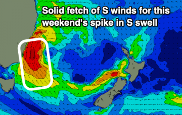
Spike in S swell for this weekend with strong winds keeping most quality waves to southern corners. SE swell for next week but winds are looking more onshore.
/reports/forecaster-notes/south-east-queensland-northern-new-south-wales/2021/06/16/large-s-swell
James KC
Wednesday, 16 June 2021
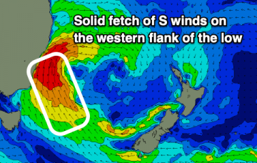
A quiet end to this week before there's a solid S swell for the weekend followed by a SE pulse early next week.
/reports/forecaster-notes/south-east-queensland-northern-new-south-wales/2021/06/14/fading-e-swell
James KC
Monday, 14 June 2021
The fading E swell will combine with a few smaller S/SE swells this week before a larger S/SE swell arrives late on the weekend.
/reports/forecaster-notes/south-east-queensland-northern-new-south-wales/2021/06/11/e-swell-continue
James KC
Friday, 11 June 2021
Offshore winds and E swell will mean there will be plenty of options for waves over the weekend.
/reports/forecaster-notes/south-east-queensland-northern-new-south-wales/2021/06/09/nice-little-e
James KC
Wednesday, 9 June 2021
E swell to bring some good clean fun for the next few days and into the weekend.

