/reports/forecaster-notes/south-east-queensland-northern-new-south-wales/2021/07/23/not-great-outlook
thermalben
Friday, 23 July 2021
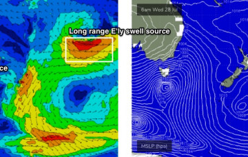
We’ve got a similar chance for a small flukey south swell, originated from a secondary fetch of W/SW gales exiting eastern Bass Strait on Sunday.
/reports/forecaster-notes/south-east-queensland-northern-new-south-wales/2021/07/21/thursday-has-few
thermalben
Wednesday, 21 July 2021
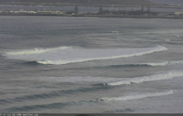
Thursday looks interesting, mainly from a weather nerd POV, not quite as much from a surfing outlook.
/reports/forecaster-notes/south-east-queensland-northern-new-south-wales/2021/07/19/lotta-swell
thermalben
Monday, 19 July 2021
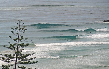
Following the large mid-week south swell, model guidance suggests a tiny weekend with fresh offshore winds. But that may not be the case.
/reports/forecaster-notes/south-east-queensland-northern-new-south-wales/2021/07/16/flukey-swells
thermalben
Friday, 16 July 2021
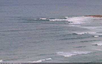
With no other activity in any of our swell windows for the next 24-36 hours, I think we'll see tiny surf throughout SE Qld for the entire weekend. South of the border is a different story though.
/reports/forecaster-notes/south-east-queensland-northern-new-south-wales/2021/07/14/flukey-swell
thermalben
Wednesday, 14 July 2021
Smaller surf is expected for the next couple of days as all of our current swells ease back in size.
/reports/forecaster-notes/south-east-queensland-northern-new-south-wales/2021/07/12/period-mediocrity
thermalben
Monday, 12 July 2021
We’re on the backside of weekend’s event, but with not a great deal standing out in the forecast, you’ll be best off making the most of Tuesday’s light winds and fun surf.
/reports/forecaster-notes/south-east-queensland-northern-new-south-wales/2021/07/09/lots-windy-surf
thermalben
Friday, 9 July 2021
We’ve got a multitude of inbound energy.
/reports/forecaster-notes/south-east-queensland-northern-new-south-wales/2021/07/07/complex-combo
thermalben
Wednesday, 7 July 2021
Make the most of Thursday!
/reports/forecaster-notes/south-east-queensland-northern-new-south-wales/2021/07/05/easing-the-east
thermalben
Monday, 5 July 2021
As such we'll see surf size ease over the coming days but it should still be pretty punchy on Tuesday.
/reports/forecaster-notes/south-east-queensland-northern-new-south-wales/2021/07/02/stacks-ene-swell
thermalben
Friday, 2 July 2021
From a swell perspective, the most interesting aspect of this complex Tasman setup is how it’s not really going anywhere.

