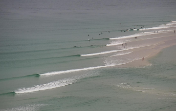
The current trade swell will continue to slowly ease through Thursday and with our focus shifting back to the south over the coming week, SE Qld surfers should try to make the most of anything you see later today or tomorrow.
Primary tabs
We’ve got a mobile pattern this week with high pressure over NSW slipping out into the Tasman, before a trough and front push into the Tasman in advance of another high cell moving over Southern NSW into the Tasman. We’ll see quite a few wind change this week as a result and an upgrade in S-S/SE swell energy as the trough and front develop a handy fetch in the Tasman
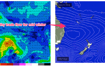
The blocking high has established quite a healthy trade flow through the Northern down to Central Coral Sea and extending out to New Caledonia. Current ASCAT (satellite windspeed) passes show a broad coverage of 20kt+ winds through this zone with CQ observations confirming 3ft surf.
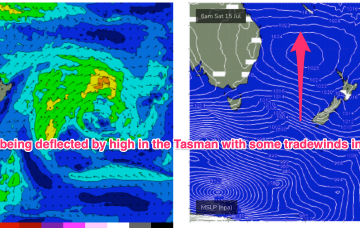
The high pressure cell develops a healhy trade-wind flow through the Coral Sea into this weekend, generating fun waves from the E. It’s quite a persistent pattern, breaking down mid next week. Small, flukey S swells get even smaller and flukier in the interim, while peaky tradewind swell chugs away.
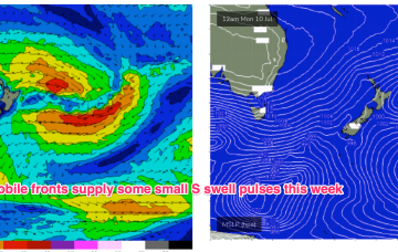
Another week begins with a classic winter El Niño pattern. High pressure over the continent with a W’ly flow being enhanced by a series of mobile fronts and parent lows, sending small S swell pulses our way. Nothing of any size its expected due to the zonal and mobile nature of the fetches so you’ll need to find a swell magnet.
We’re still on track for basically offshore winds all weekend as high pressure to the north and a series of fronts to the south bring the W’ly belt across the Southern half of the maritime continent up intp the sub-tropics.
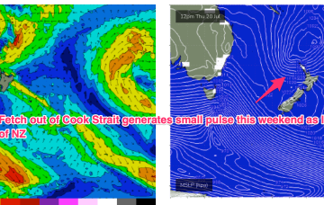
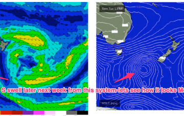
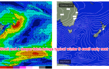
Residual S/SE groundswell pulses from the off axis fetch as it drifted slowly SE of the South Island will put a floor under wave heights before we see a fresh round of S swell early next week. Good news for some areas south of the border, with a much less exciting but seasonally expected outlook for SEQLD.
Before we get to that point, we still need the developing S/SE swell to push through, reach a plateau and then slowly abate - which will happen overnight and then gradually through Tuesday.
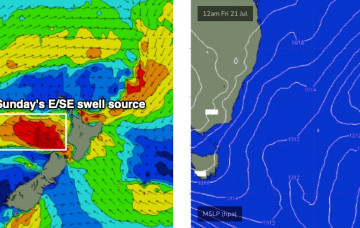
A series of overlapping south swells remain on the menu for the next three or four days, thanks to a series of powerful fronts sliding around an amplifying long wave trough over New Zealand longitudes.
A massive NW cloud band is drawing moisture in from the Indian Ocean and Arafura Sea via inland troughs. The cold fronts are our primary swell source through this week and into the weekend with next week suggesting the troughs will move offshore and potentially create conditions for swell from the E/NE to SE.

