And so, the weekend surf forecast maintains the existing regime of south swell, favouring exposed south facing beaches in Northern NSW and offering very little excitement north of Byron Bay.
Primary tabs
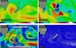
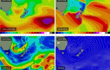
We’ve got an extended period of strong frontal activity expected through the Tasman Sea, and this will generate back-to-back south swells from Thursday right through until early next week.
Aim for the early mornings for the cleanest conditions and keep your expectations pegged quite low.
Early bird catches the worm.
With no significant sources of swell on the cards, we’ll be working around marginal windswells and funky winds.
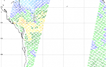
Model data for this afternoon still has a 25-30kt S/SE fetch aimed up into the North Coast region, and it’ll supply plenty of swell for Saturday ahead of an easing trend into Sunday.
As such, we’re looking at another day of large waves from the southern quadrant on Thursday across Northern NSW.
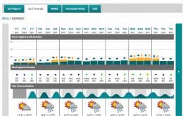
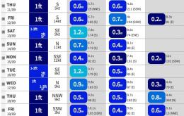
The forecast is very dynamic this week, with a wide range of size and quality on the way.
A retrograding low in the central Tasman Sea is generating a strong renewal of SE swell that’s going to generate large waves through Saturday across the Northern NSW coast, with smaller surf refracting into Southern Queensland.
After almost five days of pumping east tending south-east swell, it’s hard to imagine that we’re in for more. But the charts don’t lie and the next few days will continue this ongoing theme of strong Tasman activity

