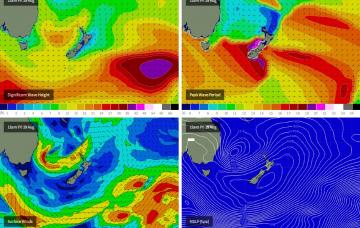
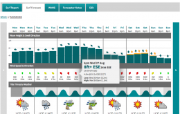
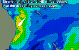
A retrograding low in the central Tasman Sea is generating a strong renewal of SE swell that’s going to generate large waves through Saturday across the Northern NSW coast, with smaller surf refracting into Southern Queensland.
Primary tabs
After almost five days of pumping east tending south-east swell, it’s hard to imagine that we’re in for more. But the charts don’t lie and the next few days will continue this ongoing theme of strong Tasman activity
So apart from southern Queensland, you’ll have to make the most of the next day and a morning south of the border before options become somewhat limited.
Either way, we’re looking at a large E’ly swell building from Monday onwards, peaking up into Wednesday ahead of a slow - but still strong - downwards trend into the end of the week.
Bit of a mixed bag for the next few days but there’ll be waves.
We’re looking at tiny surf in SE Qld on Tuesday with fresh westerly winds, and a mix of mainly small residual S’ly and SE swell along the Northern NSW coast, biggest south of about Coffs.
Early surf at south swell magnets on the North Coast the only option tomorrow, rapidly improving NE windswell Sunday as winds swing offshore.
Slowly easing S'ly swell with improving winds over the coming days. Building NE windswell Sunday as winds swing offshore late in the day.
Plenty of south swell this week but with limited options thanks to accompanying winds from the southern quadrant.
Plenty of strong south swell for the weekend in Northern NSW.

