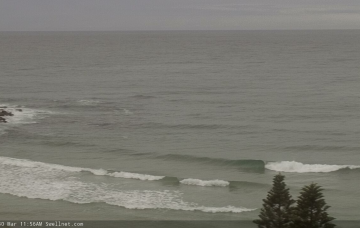
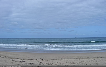
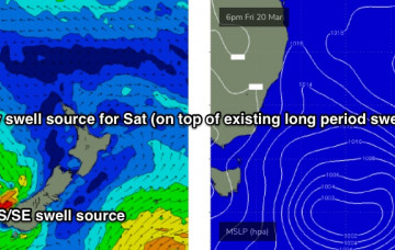
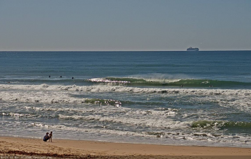
We’re now on the backside of today’s pulse and size will continue to ease through Thursday. There's plenty of south swell on the way though. More in the Forecaster Notes.
Primary tabs
We’ve got a couple of southerly swells due over the coming days as a strong long wave trough tracks across Tasman Sea longitudes. More in the Forecaster Notes.
The weekend outlook is quite tricky. More in the Forecaster Notes.
The models have changed the weekend outlook, with better winds likely on Saturday but reduced swell options. Next week still looks pretty dynamic though. More in the Forecaster Notes.
Looks like a slow week of relatively uninspiring waves. Next week is a much different story! More in the Forecaster Notes.
There's some swell on the way but winds look a little iffy at times. More in the Forecaster Notes.
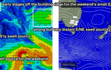
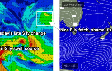
On Thursday, the southerly change will weaken into a broad trough across the central/northern Tasman Sea, and a building ridge of high pressure to the south will freshen an easterly flow across its southern flank, creating an E'ly swell source for our region. More in the Forecaster Notes.
Although today’s S’ly swell will ease slowly overnight, a new long period south swell will push through during the morning, generated by a strong polar front/low that tracked well south of Tasmania over the weekend. More in the Forecaster Notes.
Looks like there'll be no shortage of S'ly swell for the coming period. More in the Forecaster Notes.
We’ve got some more E/NE swell for the rest of the week but in general we’ll see a slow easing trend into the weekend. And there's no change to the weekend outlook either. More in the Forecaster Notes.

