We’ve got a few OK waves in store for the weekend but it won’t be anything amazing. Plenty of interesting options lining up for the long term though. More in the Forecaster Notes.
Primary tabs
There's still plenty of fun waves to finish the working week. More in the Forecaster Notes.
We’ve got some more cracking waves on the way for the coming days. But you’ll have to work around the winds. More in the Forecaster Notes.
As for size, we need to be a little careful with our expectations, because today has shown that these kinds of long period events can be steered efficiently into some locations, but less efficiently into others. More in the Forecaster Notes.
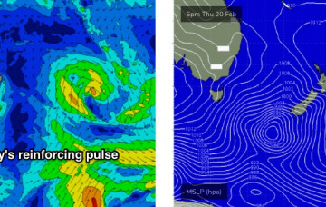
TC Uesi is a great looking system, and we’re going to see some excellent waves over the coming days. Where, when and how much? More in the Forecaster Notes. Oh, and there's a strong SE groundswell due next week too!
There’s a couple of things I really like about TC Uesi, but a few things I don’t. More in the Forecaster Notes.
We’re looking at small lows developing along the trough line - one of which may evolve into an ECL - and these will display much stronger winds, and thus will generate larger waves heights across narrow regions. More in the Forecaster Notes.
The complex trough developing along the coast will influence the entire East Coast, the scale of which is certainly not a regular occurrence. And the general swell trend is pretty straightforward: up, up and then up some more. More in the Forecaster Notes.
It’s very difficult to have any kind of specific confidence in the surf outlook for the weekend... there’s a lot of variability in the wind outlook. But what I am confident in is that we’ll see steadily building E’ly swells. More in the Forecaster Notes.
We’ve got stacks of surf on tap for this weekend. But only one window of opportunity. And later next week looks juicy! More in the Forecaster Notes.

