Large NE swell ahead for the end of the week

freeride76

Large NE swell ahead for the end of the week

freeride76

A much stronger high is moving into the classic La Niña slot- SE of Tasmania- where it will start to be squeezed by another approaching inland trough and complex low pressure system. That will see increasing NE winds come into play from mid-week with increasing levels of NE windswell.

Couple of small clean days before an extended E'ly tradewind pattern kicks in

freeride76

Couple of small clean days before an extended E'ly tradewind pattern kicks in

freeride76

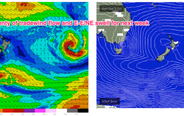
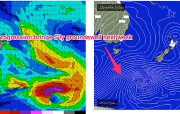
A much stronger high is moving into the classic La Niña slot- SE of Tasmania- where it will start to be squeezed by another approaching inland trough and complex low pressure system. That will see increasing E- NE winds come into play from mid-week with increasing levels of NE-E/NE windswell, especially on the Mid North Coast. Frontal progressions passing well to the south no longer have a strong surge into the Tasman but will send mid/long period pulses of S-SSE swell our way from mid week while a strong developing trade-wind flow will keep swell chugging away from the E into next week. A very active outlook for October. 

Fun beachies over the weekend with plenty on the radar for next week

freeride76

Fun beachies over the weekend with plenty on the radar for next week

freeride76

No great change to the weekend f/cast. Wind and swell regimens will be dominated by the low in the Tasman, which is now retreating towards the North Island with a large (1037hPa) high south of Tasmania. Pressure gradients do slowly ease over the weekend as the high relaxes over warm Tasman sea waters and the low sets up near the North Island.