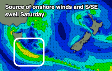
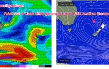
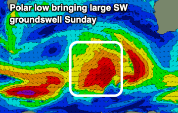
Fun mixed bag over the weekend with offshore winds with a sizey S swell now on the radar for late next week

freeride76

Fun mixed bag over the weekend with offshore winds with a sizey S swell now on the radar for late next week

freeride76

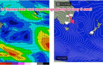
Models are now starting to firm on quite a significant swell producing system late next week as the low moves offshore and a strong high moving well south of the Bight offers a supporting pressure gradient squeeze on the Western flank of the low

Fun surf from Sunday

Craig

Fun surf from Sunday

Craig

Poor conditions developing from this afternoon, holding tomorrow ahead of cleaner conditions from Sunday.

Fun sized NE swell with a good wind change Friday

freeride76

Fun sized NE swell with a good wind change Friday

freeride76

The pressure gradient is tightened as the low approaches with an increase in NE winds and swell expected through the end of the week. A small low exits the coast north of Coffs Harbour, which delays the offshore flow and maintains a N’ly wind across the region until a front brings an offshore change Fri. The return S’ly flow as another small low and front develop near Tasmania late Fri/Early Sat is expected to kick in over the weekend. 

NE windswell building this week with size favouring NENSW, quality better north of the border

freeride76

NE windswell building this week with size favouring NENSW, quality better north of the border

freeride76

The complex low and huge trough line (extending across most of Australia!) are still tracking across the interior as forecast, with a high in the Tasman generating a NE flow across the majority of the Eastern Seaboard. The pressure gradient is tightened as the low approaches with an increase in NE winds and swell expected through the end of the week