More typical Winter pattern ahead with small S swells and light winds
More typical Winter pattern ahead with small S swells and light winds
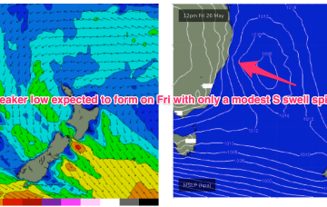
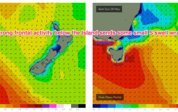
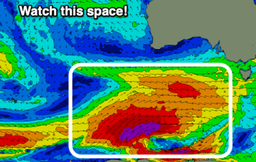
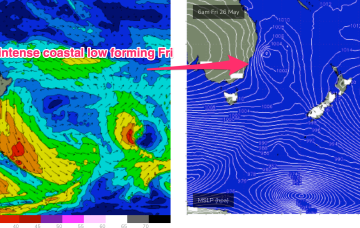
As we come to the end of another (very!) active Autumn we’ve got a typical looking winter synoptic pattern unfolding with a dominant high drifting over NSW bringing settled conditions with a very active Southern Ocean storm track spawning a strong cold front which will impact the state on Fri. The front and an upper low are expected to form a surface low Fri off the Central NSW Coast. Compared to Mon’s notes this low is now expected to be weaker and much faster moving bringing a smaller, faster up and down in S swell.

