A new long period swell is expected to push into the region overnight and build towards a mid-late morning peak.
Primary tabs
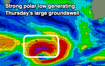
Later Wednesday, the leading edge of a new long period groundswell is expected to arrive though we won’t see the main size increase until Thursday.
The South West will do best over the weekend with a large new swell due next week with favourable winds.
Give the end of the week a miss with the weekend coming in better (mainly for the South West).
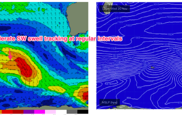
The Indian Ocean remains in a progressive pattern with a large high pressure belt and zonal disturbances in the Roaring 40’s supplying moderate overlapping SW pulses on a 24-36hr basis. Basically, overlapping swell pulses from these zonal storms will hold moderate surf all week, with subtle ups and downs.
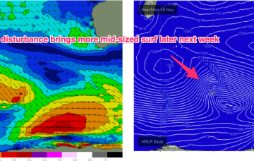
Into next week and offshore winds freshen into Mon as a new trough forms offshore from the Gascoyne and moves southwards.
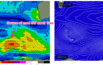
Surf-wise a storm force system under Africa sends long period forerunners arriving Mon in the 19-20 second band before the bulk of the swell energy in the 16-17 second band fills in later Mon and Tues.
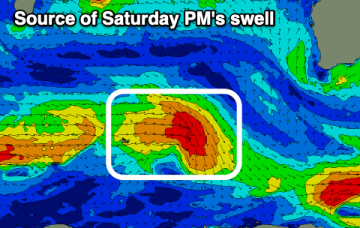
Into the weekend and a fetch tracking NE towards WA related to the decaying front brings a nice pulse of S/SW swell for the weekend.
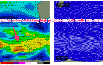
Next week is looking subdued but with periods of mostly favourable winds. The gist of it is a band of blocking high pressure and a suppressed zonal storm track.
Next week is looking subdued but with periods of mostly favourable winds. The gist of it is a band of blocking high pressure and a suppressed zonal storm track.

