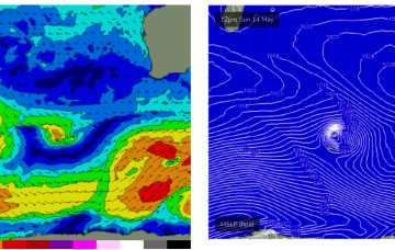
A new inconsistent swell with favourable winds is due tomorrow ahead of onshore breezes and oversized, stormy developing swell.
Primary tabs
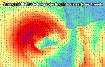
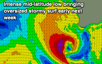
There's nothing that stands out this period with an oversized, stormy swell for early next week.
The coming week is flukey for surf while next week looks XL and stormy.
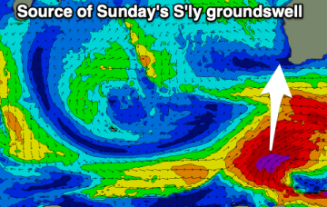
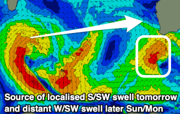
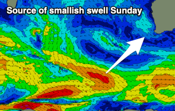
There's a good mix of S'ly and W/SW swell due on Sunday but winds won't be ideal for the South West. They should be workable for some spots though.
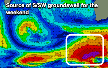
We've got cleaner conditions with a good sized S/SW swell tomorrow, easing into the weekend. A large S'ly groundswell will be met with tricky winds Sunday.
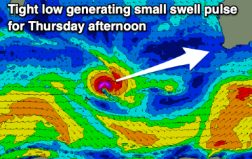
Poor surf over the coming days with onshore winds and small surf. A fun swell with improving conditions is due later week, possibly larger Sunday but with onshore winds.
Generally favourable winds though from the north-eastern quadrant with an inconsistent, easing groundswell.
The surf will be mostly clean this period but with less size than we have seen of late.
There'll be plenty of surf over the coming week with great conditions but easing size from this afternoon.
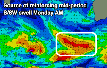
A weak front tips the SW of the state and brings an onshore W’ly Sat, tending SW on Sun, more SE in Perth/Mandurah. We’ll see some moderate pulses over the weekend, from follow-up fetches to tomorrows cold front

